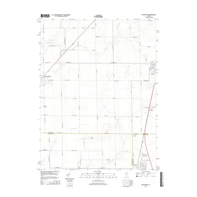
2015 Map of Macon West
USGS Topo · Published 2015About this map
Blue Mound and Macon anchor this agricultural landscape in central Illinois, where a grid of rural roads connects scattered farmsteads and historic family burial grounds. The territory is defined by the headwaters of several drainages, including Mosquito Cr and Long Grove Cr, which carve subtle depressions through the prairie. Genealogists will find a high density of small cemeteries such as Bethel Cem, Adams Cem, and the Independent Order of Oddfellows Cem, reflecting the deep-rooted settlement patterns of the late 19th and early 20th centuries. The intersection of the Lincoln Memorial Pky and the rail line at 630 East illustrates the transition from earlier rail-oriented transport to the modern highway system. Small clusters of industry and commerce appear near Walker and the eastern edge of Macon, while the surrounding acreage remains dedicated to large-scale cultivation.
Find a feature on this map
78 named features on this map. Tap any name to fly to it.
Don’t see what you’re looking for? This feature index may not catch every label — zoom into the map to look around manually.
Map Details
Editions of this 2015 Macon West Map
This is the sole edition of this map. No revisions or reprints were ever made.
Other maps of this area

1929 · Decatur
USGS Topo · 1:62,500

1933 · Decatur
USGS Topo · 1:62,500

1949 · Dalton City
USGS Topo · 1:62,500

1952 · Assumption
USGS Topo · 1:62,500

1954 · Niantic
USGS Topo · 1:62,500

1958 · Decatur
USGS Topo · 1:250,000

1961 · Decatur
USGS Topo · 1:250,000

1967 · Decatur
USGS Topo · 1:24,000

1974 · Willeys
USGS Topo · 1:24,000

1982 · Harristown
USGS Topo · 1:24,000