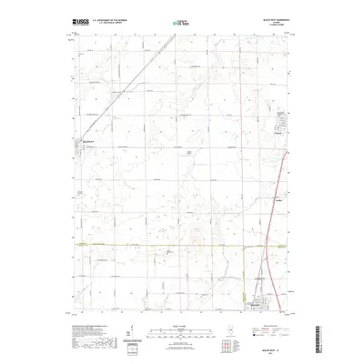
2021 Map of Macon West
USGS Topo · Published 2021About this map
Moweaqua and Blue Mound anchor this agricultural landscape in Central Illinois, where the borders of Macon, Christian, and Shelby counties converge. The terrain is defined by the drainage systems of Mosquito Cr and Spring Cr in the north, transitioning to the headwaters of Long Grove Cr and Willow Br toward the south. The rural character of the region is punctuated by numerous family and fraternal burial grounds, providing significant points of interest for genealogical research. These include the Independent Order of Oddfellows Cem near Moweaqua and the Adams Gorden Cem located centrally between the larger settlements.
Find a feature on this map
48 named features on this map. Tap any name to fly to it.
Don’t see what you’re looking for? This feature index may not catch every label — zoom into the map to look around manually.
Map Details
Editions of this 2021 Macon West Map
This is the sole edition of this map. No revisions or reprints were ever made.
Other maps of this area

1929 · Decatur
USGS Topo · 1:62,500

1933 · Decatur
USGS Topo · 1:62,500

1949 · Dalton City
USGS Topo · 1:62,500

1952 · Assumption
USGS Topo · 1:62,500

1954 · Niantic
USGS Topo · 1:62,500

1958 · Decatur
USGS Topo · 1:250,000

1961 · Decatur
USGS Topo · 1:250,000

1967 · Decatur
USGS Topo · 1:24,000

1974 · Willeys
USGS Topo · 1:24,000

1982 · Harristown
USGS Topo · 1:24,000