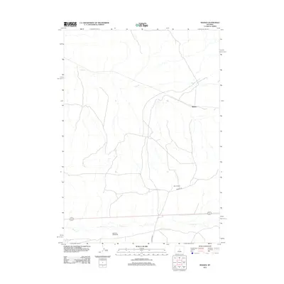
2012 Map of Madden
USGS Topo · Published 2012About this map
Madden serves as a central point in this high-plains landscape of Natrona County, where the topography is defined by the ephemeral drainage patterns of Alkali Cr and Poison Cr. This 2012 survey reveals a classic Wyoming ranching environment, centered around landmarks like the Brandau Ranch and the open expanses of Merriam Meadows. The infrastructure consists of a sparse network of local thoroughfares, including Deer Creek Rd and Frenchie Dr, which connect these isolated points of habitation. The map illustrates the specialized nature of settlement in this arid region, where ranching operations and natural meadows are strategically located near vital watercourses in an otherwise open and windswept terrain.
Find a feature on this map
7 named features on this map. Tap any name to fly to it.
Don’t see what you’re looking for? This feature index may not catch every label — zoom into the map to look around manually.
Map Details
Editions of this 2012 Madden Map
This is the sole edition of this map. No revisions or reprints were ever made.
Other maps of this area

1952 · Seventy-one Reservoir
USGS Topo · 1:24,000

1952 · Moneta
USGS Topo · 1:24,000

1952 · Badwater
USGS Topo · 1:24,000

1952 · Lysite
USGS Topo · 1:24,000

1952 · Arminto SW
USGS Topo · 1:24,000

1952 · Madden
USGS Topo · 1:24,000

1952 · Arminto NW
USGS Topo · 1:24,000

1952 · Lysite SE
USGS Topo · 1:24,000

1952 · Moneta SE
USGS Topo · 1:24,000

1955 · Arminto
USGS Topo · 1:250,000