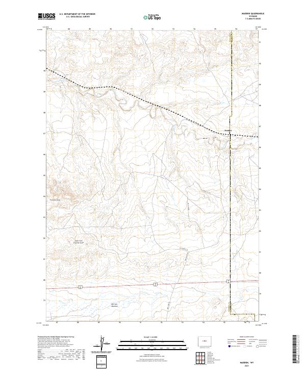
2021 Map of Madden
USGS Topo · Published 2021About this map
Madden occupies a central position in this high-desert landscape, situated where the terrain begins to slope toward the drainages of Alkali Creek and Poison Cr. This map details a network of named industrial and local access routes, including Gun Barrel Rd and Deer Creek Rd, which traverse the open range between the Fremont and Natrona county line. The topography is defined by the significant erosional features of Frenchie Draw and the South Fork Frenchie Draw, illustrating the complex drainage patterns of the Wyoming basin. Towards the south, the level terrain of Merriam Meadows provides a contrast to the dissected draws. The prevalence of labels like Gravel Pit Rd and Short Cut Rd indicates a landscape shaped by resource extraction and utility, typical of this remote corridor where transportation routes follow the natural contours of the high plains.
Find a feature on this map
17 named features on this map. Tap any name to fly to it.
Don’t see what you’re looking for? This feature index may not catch every label — zoom into the map to look around manually.
Map Details
Editions of this 2021 Madden Map
This is the sole edition of this map. No revisions or reprints were ever made.
Other maps of this area

1952 · Seventy-one Reservoir
USGS Topo · 1:24,000

1952 · Moneta
USGS Topo · 1:24,000

1952 · Badwater
USGS Topo · 1:24,000

1952 · Lysite
USGS Topo · 1:24,000

1952 · Arminto SW
USGS Topo · 1:24,000

1952 · Madden
USGS Topo · 1:24,000

1952 · Arminto NW
USGS Topo · 1:24,000

1952 · Lysite SE
USGS Topo · 1:24,000

1952 · Moneta SE
USGS Topo · 1:24,000

1955 · Arminto
USGS Topo · 1:250,000