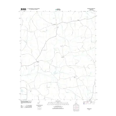
2012 Map of Madden
USGS Topo · Published 2012About this map
Madden and Laurel Hill anchor this rural landscape in Neshoba County, where the settlement pattern follows the high ground between numerous creek drainages. The area is defined by a dense network of watercourses, including Standing Pine Cr and the winding path of Luneluah Cr, which influenced the placement of early homesteads and community centers. Local history is preserved in several family and community burial grounds, such as Laurel Hill Cem and Mount Bethany Cem, which often signify the locations of former meeting houses or vanished congregations. The road system, including Hwy 427 and various local routes like Comans Rd, illustrates the transition from traditional farm-to-market paths to a more modern rural grid. Farther north, the small settlement of Waldo and the crossing at Dowdville show how these unincorporated communities persisted through the early 21st century.
Find a feature on this map
81 named features on this map. Tap any name to fly to it.
Don’t see what you’re looking for? This feature index may not catch every label — zoom into the map to look around manually.
Map Details
Editions of this 2012 Madden Map
This is the sole edition of this map. No revisions or reprints were ever made.
Other maps of this area

1953 · Meridian
USGS Topo · 1:250,000

1957 · Meridian
USGS Topo · 1:250,000

1962 · Edinburg
USGS Topo · 1:62,500

1965 · Meridian
USGS Topo · 1:250,000

1972 · Pearl River
USGS Topo · 1:24,000

1972 · McAfee
USGS Topo · 1:24,000

1972 · Madden
USGS Topo · 1:24,000
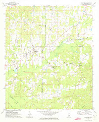
1972 · Sebastopol
USGS Topo · 1:24,000
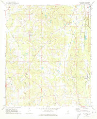
1972 · McDonald
USGS Topo · 1:24,000
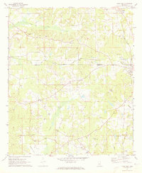
1972 · Union West
USGS Topo · 1:24,000