Loading...
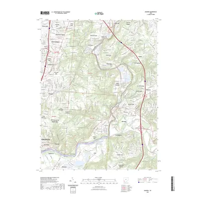
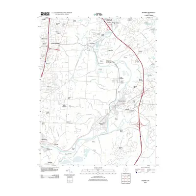
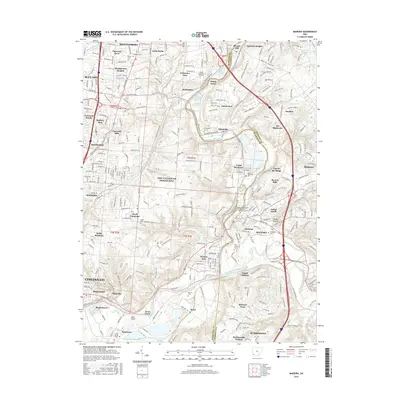
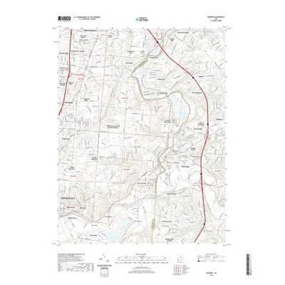
Loading map...2023 Map of Madeira
USGS Topo · Published 2023About this map
The Little Miami Wild and Scenic River carves a deep valley through this landscape, defining the character of the border between Hamilton Co and Clermont Co. This area is characterized by affluent suburban estates and preservation land, most notably within The Village of Indian Hill. The map highlights a significant density of historical burial grounds, ranging from the United Jewish Cem near Blue Ash to the Milford Independent Order of Oddfellows Cem in Milford.
Find a feature on this map
312 named features on this map. Tap any name to fly to it.
Don’t see what you’re looking for? This feature index may not catch every label — zoom into the map to look around manually.
Map Details
Date Portrayed2023
Date Published2023
PublisherU.S. Geological Survey
Map TypeTopographic
Scale1:24,000
Physical Dimensions24 x 29 inches
Editions of this 2023 Madeira Map
This is the sole edition of this map. No revisions or reprints were ever made.
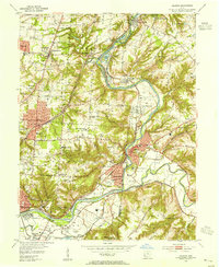
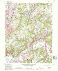
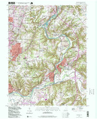
Historical Maps of Cincinnati Through Time
8 maps found

Featured Locations
Source Details
SourceU.S. Geological Survey
CopyrightPublic Domain