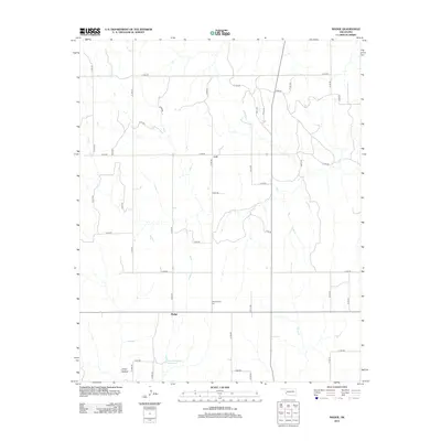
2012 Map of Madge
USGS Topo · Published 2012About this map
The small Oklahoma settlements of Madge and Carl anchor this topographic survey of the rural Harmon County landscape. Situated in the southwest corner of the state, the area is defined by a grid of county roads and the drainage of Horse Cr and its tributaries. Local history and genealogy are centered around the Independence Cem, located between the two primary settlements. The terrain transitions into the Dixon Hollow in the southwestern portion of the map, while the Fred Yarbrough Reservoir provides a named water feature amidst the agricultural land. The map illustrates the persistent structure of rural life in this region, where widely spaced communities remain connected by an extensive network of numbered roads such as N 1690 RD and e1450 RD.
Find a feature on this map
35 named features on this map. Tap any name to fly to it.
Don’t see what you’re looking for? This feature index may not catch every label — zoom into the map to look around manually.
Map Details
Editions of this 2012 Madge Map
This is the sole edition of this map. No revisions or reprints were ever made.
Other maps of this area

1954 · Amarillo
USGS Topo · 1:250,000

1954 · Plainview
USGS Topo · 1:250,000

1955 · Lawton
USGS Topo · 1:250,000

1955 · Clinton
USGS Topo · 1:250,000

1957 · Clinton
USGS Topo · 1:250,000

1958 · Amarillo
USGS Topo · 1:250,000

1958 · Plainview
USGS Topo · 1:250,000

1959 · Shinnery Creek
USGS Topo · 1:24,000

1961 · Erick
USGS Topo · 1:62,500

1963 · Little Wolf Creek
USGS Topo · 1:24,000