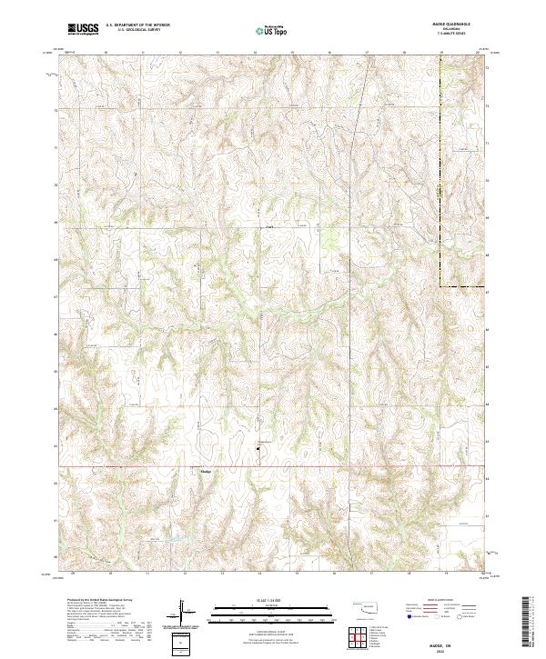
2022 Map of Madge
USGS Topo · Published 2022About this map
Madge and Carl anchor this rural landscape in Harmon County along the border with Greer County. The area is characterized by a dense network of local section roads, including E1420 Rd and N1700 Rd, which connect isolated farmsteads across the rolling plains. Community life centers on the Independence Ch and the adjacent Independence Cem, providing a focal point for genealogical research and local history in this corner of southwest Oklahoma.
Find a feature on this map
42 named features on this map. Tap any name to fly to it.
Don’t see what you’re looking for? This feature index may not catch every label — zoom into the map to look around manually.
Map Details
Editions of this 2022 Madge Map
This is the sole edition of this map. No revisions or reprints were ever made.
Other maps of this area

1954 · Amarillo
USGS Topo · 1:250,000

1954 · Plainview
USGS Topo · 1:250,000

1955 · Lawton
USGS Topo · 1:250,000

1955 · Clinton
USGS Topo · 1:250,000

1957 · Clinton
USGS Topo · 1:250,000

1958 · Amarillo
USGS Topo · 1:250,000

1958 · Plainview
USGS Topo · 1:250,000

1959 · Shinnery Creek
USGS Topo · 1:24,000

1961 · Erick
USGS Topo · 1:62,500

1963 · Little Wolf Creek
USGS Topo · 1:24,000