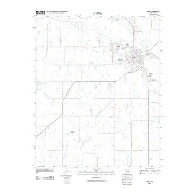
2009 Map of Madill
USGS Topo · Published 2009About this map
The town of Madill serves as the regional hub in this 2009 survey, situated at a major junction of rail and road. The area's geography is defined by a series of south-flowing waterways, including Glasses Creek, Brier Creek, and Buncombe Creek, which feed into the northern reaches of Lake Texoma just beyond the map's southern edge. The nearby community of Oakland sits immediately to the west of Madill, illustrating how these two settlements have grown toward one another over time, shared in part by the centrally located Oakland-Madill Cemetery.
Find a feature on this map
45 named features on this map. Tap any name to fly to it.
Don’t see what you’re looking for? This feature index may not catch every label — zoom into the map to look around manually.
Map Details
Editions of this 2009 Madill Map
This is the sole edition of this map. No revisions or reprints were ever made.
Other maps of this area

1901 · Tishomingo
USGS Topo · 1:125,000

1901 · Denison
USGS Topo · 1:125,000

1954 · Sherman
USGS Topo · 1:250,000

1957 · Ardmore
USGS Topo · 1:250,000

1958 · Gordonville
USGS Topo · 1:62,500

1958 · Denison Dam
USGS Topo · 1:62,500

1958 · Sherman
USGS Topo · 1:250,000

1963 · Ardmore
USGS Topo · 1:250,000

1963 · Madill
USGS Topo · 1:24,000

1963 · Mannsville
USGS Topo · 1:24,000