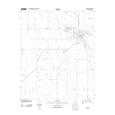
2013 Map of Madill
USGS Topo · Published 2013About this map
The town of Madill serves as the focal point of this Oklahoma landscape, situated at the junction of major regional transit routes. To the northwest, the smaller settlement of Oakland is clearly defined, with Antioch appearing further west along the highway corridor. The area is characterized by a dense network of country roads named for local families and landmarks, such as Crowson Road, Huebsch Road, and Old Willis Road, which provide valuable data for genealogists and local historians tracing land ownership patterns.
Find a feature on this map
90 named features on this map. Tap any name to fly to it.
Don’t see what you’re looking for? This feature index may not catch every label — zoom into the map to look around manually.
Map Details
Editions of this 2013 Madill Map
This is the sole edition of this map. No revisions or reprints were ever made.
Other maps of this area

1901 · Tishomingo
USGS Topo · 1:125,000

1901 · Denison
USGS Topo · 1:125,000

1954 · Sherman
USGS Topo · 1:250,000

1957 · Ardmore
USGS Topo · 1:250,000

1958 · Gordonville
USGS Topo · 1:62,500

1958 · Denison Dam
USGS Topo · 1:62,500

1958 · Sherman
USGS Topo · 1:250,000

1963 · Ardmore
USGS Topo · 1:250,000

1963 · Madill
USGS Topo · 1:24,000

1963 · Mannsville
USGS Topo · 1:24,000