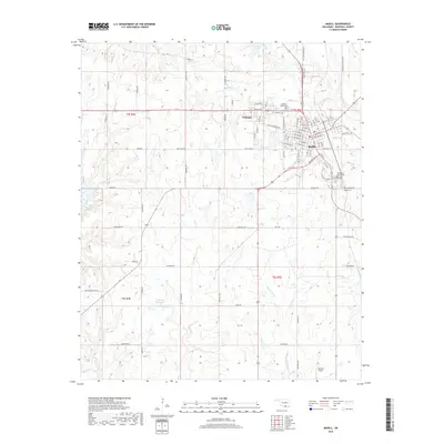
2018 Map of Madill
USGS Topo · Published 2018About this map
The city of Madill and the neighboring community of Oakland serve as the primary population centers in this Marshall County landscape. The area is defined by a series of north-south running creeks and drainage basins, including Glasses Cr and Buncombe Cr, which feed into local water bodies like City Lake and Carter Lake. The map reveals a transition from the structured residential grid of the town centers to the expansive agricultural and ranching lands that dominate the surrounding townships. Genealogists and local historians will find significant detail in the placement of several burial grounds, such as the Oakland-Madill Cem and Woodberry Forest Cem. The presence of the Flying M Airport and a network of rural roads like Pettijohn Springs Rd and Randolph Bottom Rd illustrates the modern infrastructure supporting this Oklahoma community.
Find a feature on this map
100 named features on this map. Tap any name to fly to it.
Don’t see what you’re looking for? This feature index may not catch every label — zoom into the map to look around manually.
Map Details
Editions of this 2018 Madill Map
This is the sole edition of this map. No revisions or reprints were ever made.
Other maps of this area

1901 · Tishomingo
USGS Topo · 1:125,000

1901 · Denison
USGS Topo · 1:125,000

1954 · Sherman
USGS Topo · 1:250,000

1957 · Ardmore
USGS Topo · 1:250,000

1958 · Gordonville
USGS Topo · 1:62,500

1958 · Denison Dam
USGS Topo · 1:62,500

1958 · Sherman
USGS Topo · 1:250,000

1963 · Ardmore
USGS Topo · 1:250,000

1963 · Madill
USGS Topo · 1:24,000

1963 · Mannsville
USGS Topo · 1:24,000