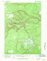
1958 Map of Madison Junction
USGS Topo · Published 1971About this map
The convergence of the Gibbon River and Firehole River to form the Madison River anchors this 1950s survey of Yellowstone National Park. This portion of the park is defined by the thermal activity of the Lower Geyser Basin and Midway Geyser Basin, where prominent features like the Fountain Paint Pot and White Dome Geyser indicate a highly active geothermal landscape. The infrastructure of the era is evident at Madison Junction, while back-country management is represented by the Cougar Creek Patrol Cabin and Fountain Patrol Cabin. The topography transitions from the broad Madison Plateau to the vertical rise of Purple Mountain and National Park Mtn, providing a look at the park's early modern development before major contemporary tourist expansions. Researchers can also trace the Howard Eaton Trail as it winds through Secret Valley toward landmarks such as Fairy Falls.
Find a feature on this map
71 named features on this map. Tap any name to fly to it.
Don’t see what you’re looking for? This feature index may not catch every label — zoom into the map to look around manually.
Map Details
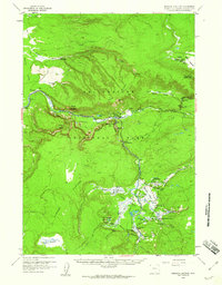
Editions of this 1958 Madison Junction Map
2 editions found
Other maps of this area

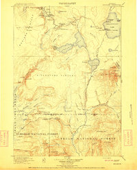
1885 · Gallatin
USGS Topo · 1:125,000

1885 · Gallatin
USGS Topo · 1:125,000

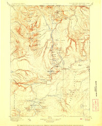
1886 · Shoshone
USGS Topo · 1:125,000

1888 · Shoshone
USGS Topo · 1:125,000

1895 · Shoshone
USGS Topo · 1:125,000

1901 · Shoshone
USGS Topo · 1:125,000

1901 · Gallatin
USGS Topo · 1:125,000
1908 · Gallatin
USGS Topo · 1:125,000

1908 · Shoshone
USGS Topo · 1:125,000
1911 · Shoshone
USGS Topo · 1:125,000