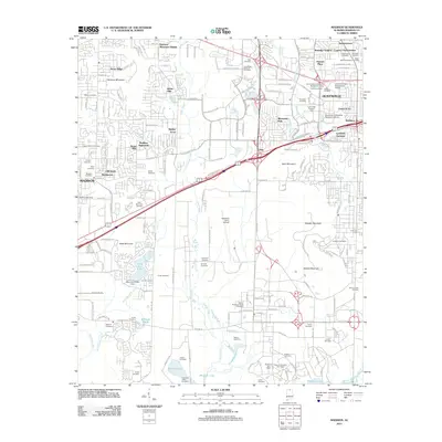
2011 Map of Madison
USGS Topo · Published 2011About this map
Redstone Arsenal occupies the southern half of this landscape, showcasing the aerospace infrastructure of the early 21st century. The map reveals high-tech facilities such as the Neutral Buoyancy Space Simulator, the Saturn V Dynamic Test Stand, and the Redstone Army Airfield. This military and scientific presence contrasts sharply with the numerous small family burial grounds preserved within and around its perimeter, including the Lipscomb Cemetery, Hancock Cemetery, and Powhatan-Toney Cemetery.
Find a feature on this map
78 named features on this map. Tap any name to fly to it.
Don’t see what you’re looking for? This feature index may not catch every label — zoom into the map to look around manually.
Map Details
Editions of this 2011 Madison Map
This is the sole edition of this map. No revisions or reprints were ever made.
Other maps of this area

1888 · Huntsville
USGS Topo · 1:125,000

1892 · Huntsville
USGS Topo · 1:125,000

1936 · Jeff
USGS Topo · 1:24,000

1936 · Capshaw
USGS Topo · 1:24,000

1936 · Triana
USGS Topo · 1:24,000

1936 · Madison
USGS Topo · 1:24,000

1936 · Meridianville
USGS Topo · 1:24,000

1936 · Mason Ridge
USGS Topo · 1:24,000

1936 · Greenbrier
USGS Topo · 1:24,000

1936 · Farley
USGS Topo · 1:24,000