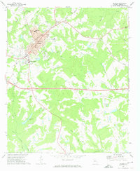
1972 Map of Madison
USGS Topo · Published 1974About this map
Madison serves as the focal point of this Morgan County landscape, showing its development during the early 1970s. The town's historic core is well-defined by its Courthouse, City Hall, and Po, while the surrounding neighborhoods like Beacon Heights expand toward the southwest. The Central Of Georgia railroad cuts diagonally through the terrain, historically anchoring the town's commerce. Outside the main settlement, a network of rural roads connects numerous country churches such as Jackson Grove Ch and Bethany Ch, reflecting a deeply rooted community structure.
Find a feature on this map
44 named features on this map. Tap any name to fly to it.
Don’t see what you’re looking for? This feature index may not catch every label — zoom into the map to look around manually.
Map Details
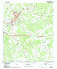
Editions of this 1972 Madison Map
2 editions found
Other maps of this area

1896 · Monroe
USGS Topo · 1:125,000

1953 · Athens
USGS Topo · 1:250,000

1958 · Athens
USGS Topo · 1:250,000

1959 · Athens
USGS Topo · 1:250,000

1963 · Athens
USGS Topo · 1:250,000

1971 · Rutledge North
USGS Topo · 1:24,000

1972 · Buckhead
USGS Topo · 1:24,000

1972 · Shady Dale
USGS Topo · 1:24,000

1972 · Apalachee
USGS Topo · 1:24,000

1972 · Harmony
USGS Topo · 1:24,000