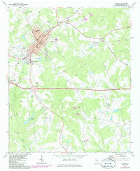
1972 Map of Madison
USGS Topo · Published 1986About this map
Madison serves as the central hub of this northern Georgia landscape, where the Georgia Central Of and Seaboard Coast Line railroads converge. The city's civic core is well-defined by the Courthouse, City Hall, and several local schools, including Pearl Jr High Sch. Residential expansion is visible to the south toward Beacon Heights, while the surrounding countryside is dotted with rural congregations like Smyrna Ch and Plainview Ch.
Find a feature on this map
42 named features on this map. Tap any name to fly to it.
Don’t see what you’re looking for? This feature index may not catch every label — zoom into the map to look around manually.
Map Details
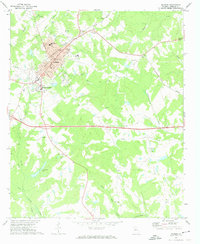
Editions of this 1972 Madison Map
2 editions found
Other maps of this area

1896 · Monroe
USGS Topo · 1:125,000

1953 · Athens
USGS Topo · 1:250,000

1958 · Athens
USGS Topo · 1:250,000

1959 · Athens
USGS Topo · 1:250,000

1963 · Athens
USGS Topo · 1:250,000

1971 · Rutledge North
USGS Topo · 1:24,000

1972 · Buckhead
USGS Topo · 1:24,000

1972 · Shady Dale
USGS Topo · 1:24,000

1972 · Apalachee
USGS Topo · 1:24,000

1972 · Harmony
USGS Topo · 1:24,000