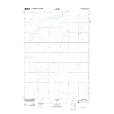
2011 Map of Madison SE
USGS Topo · Published 2011About this map
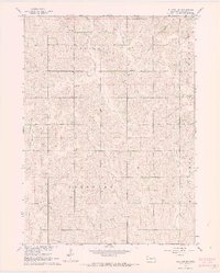
Union Creek winds through the northern section of this agricultural landscape in Stanton County, defining the drainage patterns of a region deeply committed to the section-line grid. This 2011 survey reveals the precise geometry of rural Nebraska, where roads like 830th Rd and 560 Ave intersect at regular intervals to facilitate large-scale farming. The terrain is characterized by the subtle watercourses of Sand Creek and the meandering Meridian Creek, which break the rigid symmetry of the road network. To the southeast, the headwaters of the West Fork Maple Creek emerge, illustrating how natural hydrology continues to influence land use even in a highly engineered rural environment. For those studying the evolution of High Plains agriculture, this map provides a clear record of property access and drainage in the early 21st century.
Find a feature on this map
20 named features on this map. Tap any name to fly to it.
Don’t see what you’re looking for? This feature index may not catch every label — zoom into the map to look around manually.
Map Details
Editions of this 2011 Madison SE Map
This is the sole edition of this map. No revisions or reprints were ever made.
Other maps of this area

1955 · Fremont
USGS Topo · 1:250,000

1957 · Fremont
USGS Topo · 1:250,000

1958 · Fremont
USGS Topo · 1:250,000

1963 · Madison
USGS Topo · 1:24,000

1963 · Madison SE
USGS Topo · 1:24,000
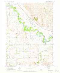
1963 · Madison NE
USGS Topo · 1:24,000
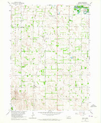
1963 · Enola
USGS Topo · 1:24,000
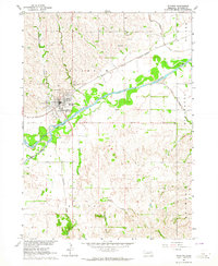
1963 · Stanton
USGS Topo · 1:24,000

1966 · Creston
USGS Topo · 1:24,000
1966 · Stanton SW
USGS Topo · 1:24,000