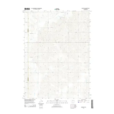
2014 Map of Madison SE
USGS Topo · Published 2014About this map
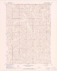
Union Cr and Meridian Cr flow through the rolling agricultural landscape of Stanton and Madison Counties in this early 21st-century topographic study. The area is defined by a rigorous section-line road grid, including 558 Ave and 560 Ave, which segments the fertile plains between the drainage basins of the W Fork Maple Cr and Sand Cr. The primary east-west corridor, Ne-32, bisects the quadrangle, facilitating transit across this rural expanse. This map reflects a landscape dedicated to large-scale farming and livestock, where the natural hydrology of small creeks dictates the subtle contours of the terrain. The presence of named roads like Union Creek Rd suggests the historical importance of these waterways as orienting landmarks for the local community.
Find a feature on this map
31 named features on this map. Tap any name to fly to it.
Don’t see what you’re looking for? This feature index may not catch every label — zoom into the map to look around manually.
Map Details
Editions of this 2014 Madison SE Map
This is the sole edition of this map. No revisions or reprints were ever made.
Other maps of this area

1955 · Fremont
USGS Topo · 1:250,000

1957 · Fremont
USGS Topo · 1:250,000

1958 · Fremont
USGS Topo · 1:250,000

1963 · Madison
USGS Topo · 1:24,000

1963 · Madison SE
USGS Topo · 1:24,000
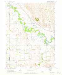
1963 · Madison NE
USGS Topo · 1:24,000
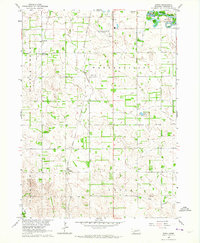
1963 · Enola
USGS Topo · 1:24,000
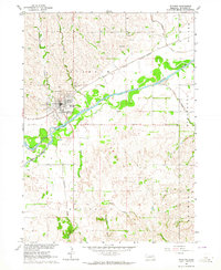
1963 · Stanton
USGS Topo · 1:24,000

1966 · Creston
USGS Topo · 1:24,000
1966 · Stanton SW
USGS Topo · 1:24,000