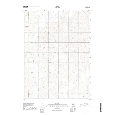
2017 Map of Madison SE
USGS Topo · Published 2017About this map
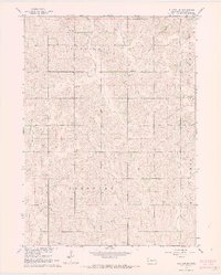
Union Creek and its various tributaries, such as Sand Cr and Meridian Cr, define the drainage patterns across this section of northeastern Nebraska. The landscape is marked by the irregular boundary between Madison and Stanton Counties, where the survey grid meets a rolling topography of subtle ridges and draws. While no major towns are situated directly within these coordinates, the area is characterized by a dense network of sectional section roads, including Union Creek Rd and 832nd Rd, which provide access to the agricultural parcels that have long sustained the local economy. At the eastern edge, the headwaters of W Fork Maple Cr begin to carve into the terrain, illustrating the divide between the Elkhorn and Platte River drainage basins.
Find a feature on this map
25 named features on this map. Tap any name to fly to it.
Don’t see what you’re looking for? This feature index may not catch every label — zoom into the map to look around manually.
Map Details
Editions of this 2017 Madison SE Map
This is the sole edition of this map. No revisions or reprints were ever made.
Other maps of this area

1955 · Fremont
USGS Topo · 1:250,000

1957 · Fremont
USGS Topo · 1:250,000

1958 · Fremont
USGS Topo · 1:250,000

1963 · Madison
USGS Topo · 1:24,000

1963 · Madison SE
USGS Topo · 1:24,000
1963 · Madison NE
USGS Topo · 1:24,000
1963 · Enola
USGS Topo · 1:24,000
1963 · Stanton
USGS Topo · 1:24,000

1966 · Creston
USGS Topo · 1:24,000
1966 · Stanton SW
USGS Topo · 1:24,000