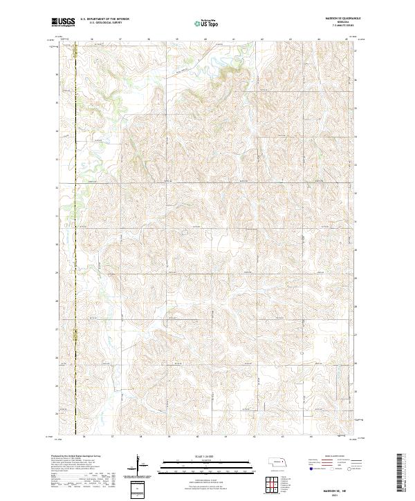
2021 Map of Madison SE
USGS Topo · Published 2021About this map
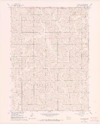
Union Creek and its tributaries carve a complex drainage pattern across the high plains of Northeast Nebraska, defining the landscape along the Madison Co Stanton Co border. This modern survey reveals a geometric grid of rural routes including 831st Rd and 828th Rd that overlay the winding paths of Sand Cr and Meridian Cr. The map illustrates the transition from the rolling uplands down toward the W Fork Maple Cr watershed. While predominantly agricultural and sparse in named settlements, the terrain is characterized by deep erosional draws and seasonal stream beds. Researchers of the region's hydrography can trace the primary flow of Union Creek as it winds through Union Creek Rd, showing how modern infrastructure respects the ancient path of the water.
Find a feature on this map
33 named features on this map. Tap any name to fly to it.
Don’t see what you’re looking for? This feature index may not catch every label — zoom into the map to look around manually.
Map Details
Editions of this 2021 Madison SE Map
This is the sole edition of this map. No revisions or reprints were ever made.
Other maps of this area

1955 · Fremont
USGS Topo · 1:250,000

1957 · Fremont
USGS Topo · 1:250,000

1958 · Fremont
USGS Topo · 1:250,000

1963 · Madison
USGS Topo · 1:24,000

1963 · Madison SE
USGS Topo · 1:24,000
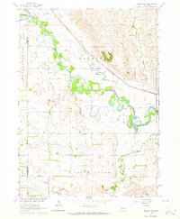
1963 · Madison NE
USGS Topo · 1:24,000
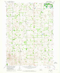
1963 · Enola
USGS Topo · 1:24,000
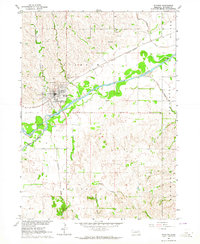
1963 · Stanton
USGS Topo · 1:24,000

1966 · Creston
USGS Topo · 1:24,000
1966 · Stanton SW
USGS Topo · 1:24,000