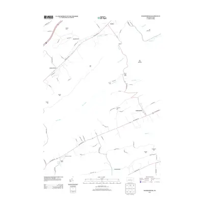
2013 Map of Madisonburg
USGS Topo · Published 2013About this map
Madisonburg and Hublersburg anchor this segment of Central Pennsylvania, where the landscape is defined by the sharp corridors of Brush Valley and Little Sugar Valley. The terrain is characterized by a series of prominent gaps and ridges, including Markle Gap and Big Kettle Mountain, which dictate the local road network and settlement patterns. A distinctive geological feature, Penns Cave Spring, feeds into Penns Cr at the edge of Brush Valley, illustrating the region's complex karst topography.
Find a feature on this map
75 named features on this map. Tap any name to fly to it.
Don’t see what you’re looking for? This feature index may not catch every label — zoom into the map to look around manually.
Map Details
Editions of this 2013 Madisonburg Map
This is the sole edition of this map. No revisions or reprints were ever made.
Other maps of this area

1921 · Howard
USGS Topo · 1:48,000

1921 · Lock Haven
USGS Topo · 1:62,500

1923 · Howard
USGS Topo · 1:62,500

1923 · Lock Haven
USGS Topo · 1:62,500

1924 · Centre Hall
USGS Topo · 1:62,500

1929 · Centre Hall
USGS Topo · 1:62,500

1937 · Millheim
USGS Topo · 1:48,000

1941 · Millheim
USGS Topo · 1:62,500

1943 · Lewistown
USGS Topo · 1:125,000

1944 · Lock Haven
USGS Topo · 1:62,500