
1909 Map of Madisonville
USGS Topo · Published 1909About this map
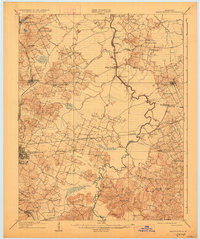
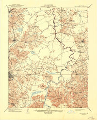
Pond River serves as the winding central artery for this Western Kentucky landscape, carving a boundary between Hopkins, McLean, and Muhlenberg counties. The 1907 survey captures a transitional moment for the region, where a dense network of ferries like Bells Ferry, Scott Ferry, and Frostburg Ferry provided essential river crossings before modern bridge infrastructure dominated the waterway. This reliance on the river is balanced by the rising influence of the Louisville and Nashville RR, which anchors the growing mining and commercial centers of Madisonville and Earlington. Between these hubs, the rural interior is dotted with legacy institutions, from the Old Salem Church and New Providence School to the local Poor Farm, illustrating a well-established social fabric of early twentieth-century parish and educational life. Smaller outposts like Anton, Sacramento, and Slaughtersville are connected by a web of wagon roads, reflecting the era's agrarian and industrial commerce.
Find a feature on this map
62 named features on this map. Tap any name to fly to it.
Don’t see what you’re looking for? This feature index may not catch every label — zoom into the map to look around manually.
Map Details
Editions of this 1909 Madisonville Map
3 editions found
Other maps of this area

1906 · Sebree
USGS Topo · 1:62,500

1906 · Sutherland
USGS Topo · 1:62,500

1907 · Earlington
USGS Topo · 1:48,000

1908 · Calhoun
USGS Topo · 1:62,500

1909 · Dawson Springs
USGS Topo · 1:48,000

1909 · Earlington
USGS Topo · 1:62,500

1909 · Central City
USGS Topo · 1:62,500

1911 · Dawson Springs
USGS Topo · 1:62,500

1911 · Drakesboro
USGS Topo · 1:48,000

1912 · Nortonville
USGS Topo · 1:62,500