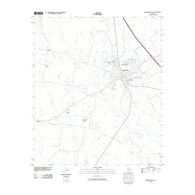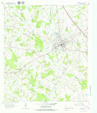
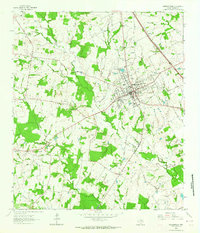
1963 Map of Madisonville
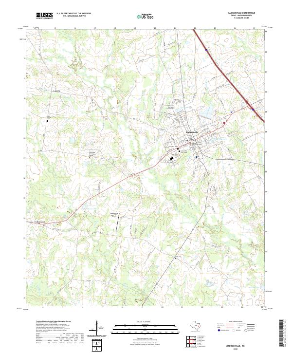
USGS Topo · Published 1979About this map
The Madisonville Oil Field dominates the southwestern portion of this 1963 survey, reflecting the local industrial landscape alongside the county seat of Madisonville. The town is the central hub for the surrounding rural communities, characterized by a high concentration of educational and religious landmarks such as Parten Sch, Madisonville High Sch, and Fellowship Ch. This period shows the transition of the local economy and culture, where traditional landmarks like the Rodeo Grounds and High Prairie Cem exist alongside mid-century developments like the Drive-in Theater. The landscape is intricately carved by numerous waterways, including Mustang Creek and Kickapoo Creek, while the legacy of former transportation is preserved in the Railroad Grade running south from town. Traces of the settlement of Laceola and various family-named features like Ferry Branch offer significant clues for local historians examining the area's development.
Find a feature on this map
40 named features on this map. Tap any name to fly to it.
Don’t see what you’re looking for? This feature index may not catch every label — zoom into the map to look around manually.
Map Details
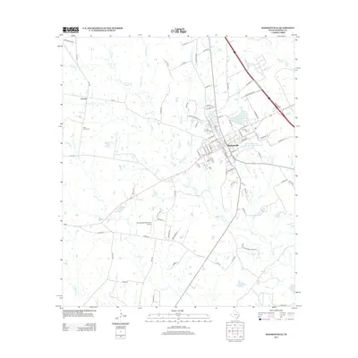
Editions of this 1963 Madisonville Map
2 editions found
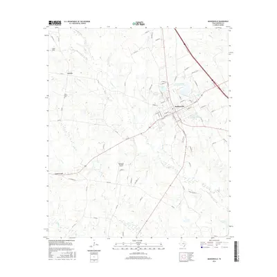
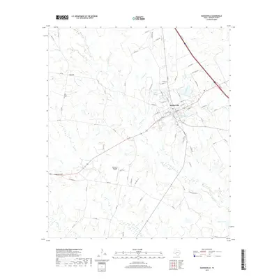
Historical Maps of Madisonville Through Time
6 maps found