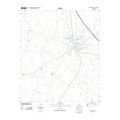
2010 Map of Madisonville
USGS Topo · Published 2010About this map
Madisonville serves as the central hub of this East Texas landscape, where a grid of residential and commercial streets meets at the intersection of several primary regional routes. The town is surrounded by a network of drainage systems, most notably Caney Creek and its many tributaries like Mustang Creek and Town Branch. Water management is a defining characteristic of the immediate area, evidenced by the City of Madisonville Lake Dam forming Crescent Lake and several Soil Conservation Service reservoirs located to the east.
Find a feature on this map
58 named features on this map. Tap any name to fly to it.
Don’t see what you’re looking for? This feature index may not catch every label — zoom into the map to look around manually.
Map Details
Editions of this 2010 Madisonville Map
This is the sole edition of this map. No revisions or reprints were ever made.
Other maps of this area

1931 · Iola
USGS Topo · 1:62,500

1953 · Palestine
USGS Topo · 1:250,000

1954 · Waco
USGS Topo · 1:250,000

1954 · Beaumont
USGS Topo · 1:250,000

1954 · Austin
USGS Topo · 1:250,000

1955 · Waco
USGS Topo · 1:250,000

1957 · Beaumont
USGS Topo · 1:250,000

1957 · Palestine
USGS Topo · 1:250,000

1962 · Connor
USGS Topo · 1:24,000

1963 · Bedias
USGS Topo · 1:24,000