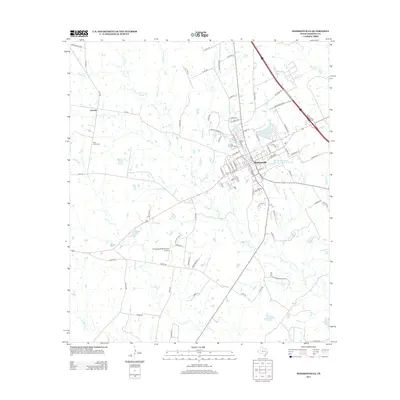
2013 Map of Madisonville
USGS Topo · Published 2013About this map
Madisonville serves as the focal point of this Madison County landscape, organized around a dense grid of streets such as N Madison St and E Viser St. To the west, the settlement of Laceola sits near the headwaters of Ferry Br, illustrating the historical pattern of small communities established along the region's many creek systems. The terrain is defined by a dendritic network of waterways, including Mustang Cr, Caney Cr, and Greenbriar Cr, which feed into local catchments like Crescent Lake and Osborne Lake.
Find a feature on this map
98 named features on this map. Tap any name to fly to it.
Don’t see what you’re looking for? This feature index may not catch every label — zoom into the map to look around manually.
Map Details
Editions of this 2013 Madisonville Map
This is the sole edition of this map. No revisions or reprints were ever made.
Other maps of this area

1931 · Iola
USGS Topo · 1:62,500

1953 · Palestine
USGS Topo · 1:250,000

1954 · Waco
USGS Topo · 1:250,000

1954 · Beaumont
USGS Topo · 1:250,000

1954 · Austin
USGS Topo · 1:250,000

1955 · Waco
USGS Topo · 1:250,000

1957 · Beaumont
USGS Topo · 1:250,000

1957 · Palestine
USGS Topo · 1:250,000

1962 · Connor
USGS Topo · 1:24,000

1963 · Bedias
USGS Topo · 1:24,000