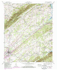
1940 Map of Madisonville
USGS Topo · Published 1985About this map
Madisonville serves as the primary hub of this East Tennessee landscape, where the Seaboard System railroad tracks cut a diagonal path through the valley. The map reveals a dense network of rural community centers, notably Hiwassee College and the surrounding area marked by numerous local institutions such as Brakebill Sch and St Paul Ch. The eastern edge is defined by the Little Tennessee River and the waters of Tellico Lake, with the Tellico Reservation Boundary delineating protected lands near the riverbank.
Find a feature on this map
50 named features on this map. Tap any name to fly to it.
Don’t see what you’re looking for? This feature index may not catch every label — zoom into the map to look around manually.
Map Details
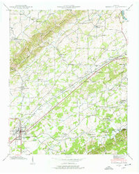
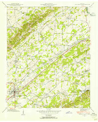
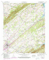
Editions of this 1940 Madisonville Map
4 editions found
Other maps of this area

1893 · Murphy
USGS Topo · 1:125,000

1895 · Loudon
USGS Topo · 1:125,000

1914 · Murphy
USGS Topo · 1:125,000

1933 · Haw Knob
USGS Topo · 1:48,000

1933 · Rafter
USGS Topo · 1:24,000

1934 · Mount Vernon
USGS Topo · 1:24,000

1934 · Englewood
USGS Topo · 1:24,000

1935 · Tellico
USGS Topo · 1:48,000

1935 · Meadow
USGS Topo · 1:24,000

1935 · Philadelphia
USGS Topo · 1:24,000