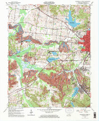
1962 Map of Madisonville West
USGS Topo · Published 1973About this map
Madisonville and the neighboring coal communities of the early 1960s reveal a landscape heavily shaped by the extractive economy of western Kentucky. Extensive Strip Mine operations and named sites like Pleasant View Mine and Circle Mine dominate the central and southern terrain, while major reservoirs such as Lake Peewee and Loch Mary Reservoir underscore the industrial and municipal water needs of the era. The transportation network is anchored by the Louisville and Nashville and Illinois Central railroads, which facilitated the movement of coal from local tipples to broader markets.
Find a feature on this map
56 named features on this map. Tap any name to fly to it.
Don’t see what you’re looking for? This feature index may not catch every label — zoom into the map to look around manually.
Map Details
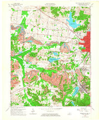
Editions of this 1962 Madisonville West Map
2 editions found
Other maps of this area

1907 · Earlington
USGS Topo · 1:48,000

1909 · Dawson Springs
USGS Topo · 1:48,000

1909 · Earlington
USGS Topo · 1:62,500

1909 · Madisonville
USGS Topo · 1:62,500

1911 · Dawson Springs
USGS Topo · 1:62,500

1912 · Nortonville
USGS Topo · 1:62,500

1952 · Hanson
USGS Topo · 1:24,000

1953 · Nortonville
USGS Topo · 1:24,000

1953 · Madisonville East
USGS Topo · 1:24,000

1954 · Evansville
USGS Topo · 1:250,000