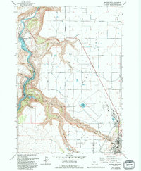
1963 Map of Madras West
USGS Topo · Published 1994About this map
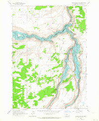
The rugged canyon of the Deschutes River dominates the western edge of this landscape, where the waters of Lake Simtustus are held back by dams along the steep volcanic breaks. This 1963 survey, updated through the mid-1980s, reveals the stark contrast between the deep river gorge and the irrigated agricultural lands of the Agency Plains to the east. The map identifies the former location of Vanora, a bypassed rail station on the bend of the river. Infrastructure like the North Unit Main Canal and the Madras State Airport illustrate the mid-century development of Jefferson County as it transitioned from a remote rail corridor to an organized irrigation district and regional hub.
Find a feature on this map
5 named features on this map. Tap any name to fly to it.
Don’t see what you’re looking for? This feature index may not catch every label — zoom into the map to look around manually.
Map Details
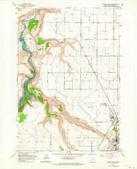
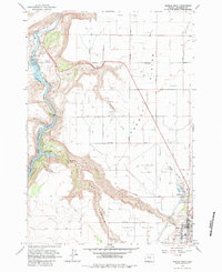
Editions of this 1963 Madras West Map
3 editions found
Other maps of this area

1928 · Madras
USGS Topo · 1:125,000

1931 · Madras
USGS Topo · 1:125,000

1955 · Bend
USGS Topo · 1:250,000

1957 · Bend
USGS Topo · 1:250,000

1958 · Bend
USGS Topo · 1:250,000

1962 · Eagle Butte
USGS Topo · 1:24,000
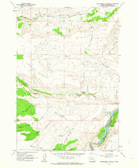
1962 · Seekseequa Junction
USGS Topo · 1:24,000

1962 · Gateway
USGS Topo · 1:24,000
1962 · Round Butte Dam
USGS Topo · 1:24,000
1963 · Culver
USGS Topo · 1:24,000