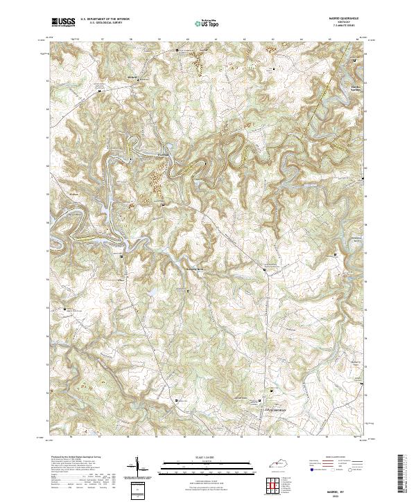
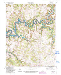
2022 Map of Madrid
USGS Topo · Published 2022About this map
The borderlands of Breckinridge, Grayson, and Hardin counties converge along the serpentine path of the Rough River, where the landscape is defined by deep bends like Harrell Bend and intricate water systems such as Little Clifty Creek. Small communities like Madrid, Eveleigh, and Hanging Rock anchor the uplands, their history preserved in numerous rural cemeteries and country churches. The terrain transitions from the distinct depression of The Sink in the north to the broad elevation of Mulberry Flats in the southeast.
Find a feature on this map
136 named features on this map. Tap any name to fly to it.
Don’t see what you’re looking for? This feature index may not catch every label — zoom into the map to look around manually.
Map Details
Editions of this 2022 Madrid Map
This is the sole edition of this map. No revisions or reprints were ever made.
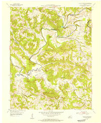
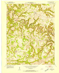
Historical Maps of Madrid Through Time
15 maps found
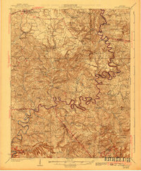
1925 Cub Run
Grayson County, KY
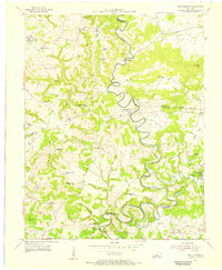
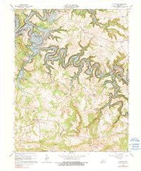
1953 Falls Of Rough
Grayson County, KY
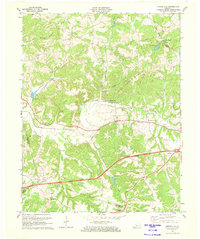
1953 Mc Daniels
Grayson County, KY
1954 Millerstown
Grayson County, KY
1954 Spring Lick
Grayson County, KY
1963 Falls of Rough
Grayson County, KY
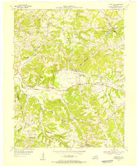
1963 Madrid
Grayson County, KY
1963 Mc Daniels
Grayson County, KY

1967 Millerstown
Grayson County, KY
1971 Spring Lick
Grayson County, KY
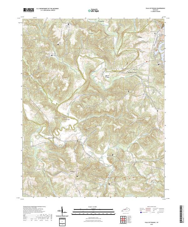
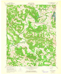
2022 Falls of Rough
Grayson County, KY
2022 Madrid
Grayson County, KY
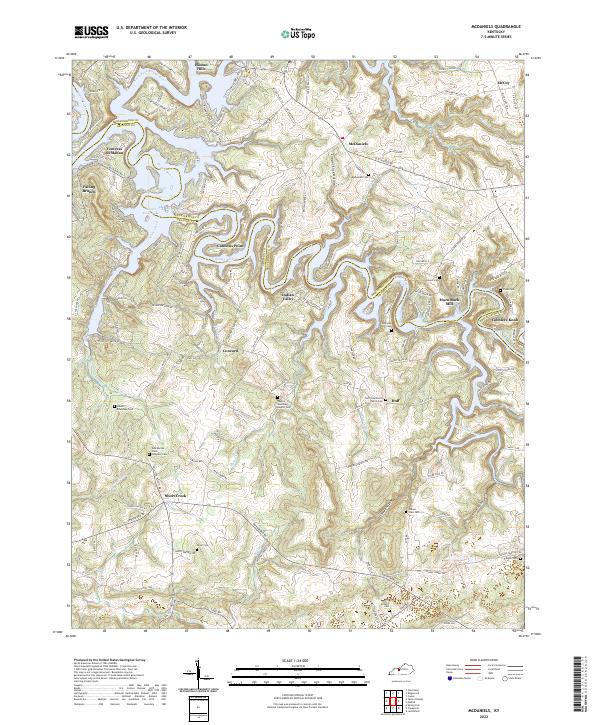
2022 McDaniels
Grayson County, KY
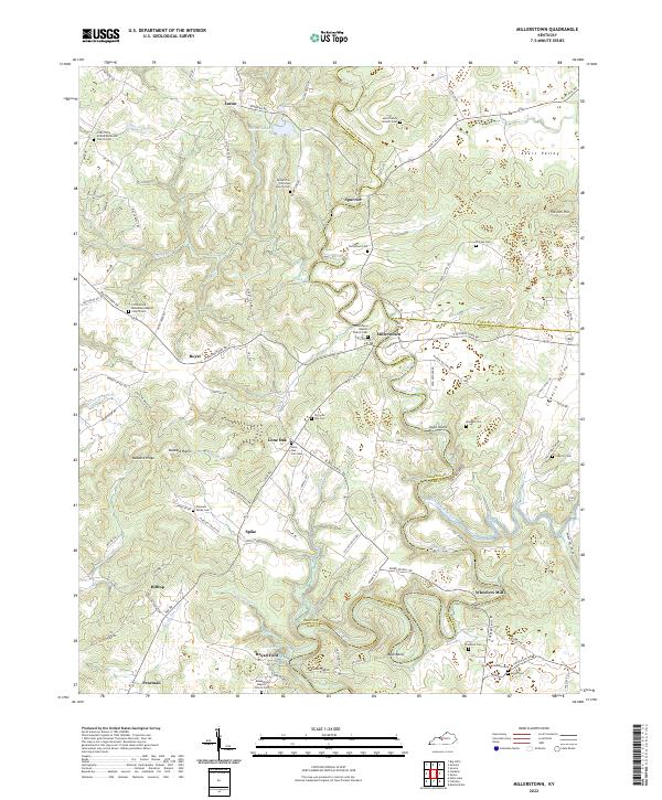
2022 Millerstown
Grayson County, KY
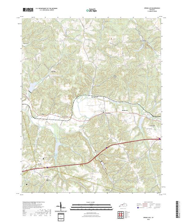
2022 Spring Lick
Grayson County, KY