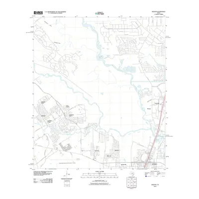
2010 Map of Maedan
USGS Topo · Published 2010About this map
The George Bush Intercontinental Airport - Houston anchors the southern portion of this region, reflecting the massive infrastructure footprint that has shaped the suburban landscape north of the city. The area is defined by the confluence of major waterways, where Spring Creek and Cypress Creek join and flow toward the West Fork San Jacinto River. These natural drainages historically influenced settlement patterns, though by this era, they are surrounded by residential developments such as Greengate Place, Sandpiper Village, and Kenswick. To the east, the city of Humble and the community of Maedan sit near the shores of Lake Houston, showing the transition from aviation-industrial zones to riverside residential districts. Local history remains visible in the names of smaller drainages like Woodsons Gully and Tantrough Gully, which speak to the original topography before modern drainage engineering took hold.
Find a feature on this map
55 named features on this map. Tap any name to fly to it.
Don’t see what you’re looking for? This feature index may not catch every label — zoom into the map to look around manually.
Map Details
Editions of this 2010 Maedan Map
This is the sole edition of this map. No revisions or reprints were ever made.
Other maps of this area

1916 · Aldine
USGS Topo · 1:24,000

1916 · Harmaston
USGS Topo · 1:24,000

1916 · Moonshine Hill
USGS Topo · 1:24,000

1916 · Humble
USGS Topo · 1:24,000

1916 · Spring
USGS Topo · 1:24,000

1919 · Aldine
USGS Topo · 1:31,680

1919 · Humble
USGS Topo · 1:31,680

1919 · Weeden
USGS Topo · 1:31,680

1920 · Spring
USGS Topo · 1:31,680

1920 · Harmaston
USGS Topo · 1:31,680