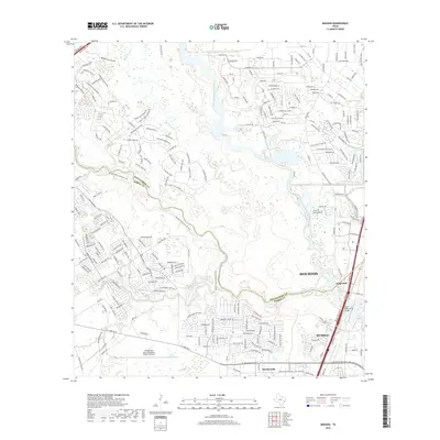
2019 Map of Maedan
USGS Topo · Published 2019About this map
Houston's northern suburbs and the sprawling aviation complex of George Bush Intercontinental Airport/Houston define this 2019 landscape. The map captures the significant hydrological confluence where Spring Creek and Cypress Creek meet the West Fork San Jacinto River. This riparian network, featuring Black Slough and Woodsons Gully, creates a natural buffer between the dense residential developments of Kingwood and the industrial and transport hubs to the south.
Find a feature on this map
231 named features on this map. Tap any name to fly to it.
Don’t see what you’re looking for? This feature index may not catch every label — zoom into the map to look around manually.
Map Details
Editions of this 2019 Maedan Map
This is the sole edition of this map. No revisions or reprints were ever made.
Other maps of this area

1916 · Aldine
USGS Topo · 1:24,000

1916 · Harmaston
USGS Topo · 1:24,000

1916 · Moonshine Hill
USGS Topo · 1:24,000

1916 · Humble
USGS Topo · 1:24,000

1916 · Spring
USGS Topo · 1:24,000

1919 · Aldine
USGS Topo · 1:31,680

1919 · Humble
USGS Topo · 1:31,680

1919 · Weeden
USGS Topo · 1:31,680

1920 · Spring
USGS Topo · 1:31,680

1920 · Harmaston
USGS Topo · 1:31,680