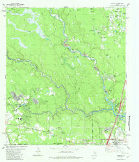
1982 Map of Maedan
USGS Topo · Published 1982About this map
The West Fork San Jacinto River and Spring Creek converge in this low-lying landscape along the boundary of Montgomery and Harris counties. In the early 1980s, this area reflects a mixture of established rural settlements and burgeoning residential developments like Freeway Oaks and Forest Shadows. The terrain is characterized by a dense network of gullys and small named bodies of water, including Tantrough Gully, Big Alligator Pond, and Mc Ginnis Pond, many of which sit within the broader floodplain.
Find a feature on this map
74 named features on this map. Tap any name to fly to it.
Don’t see what you’re looking for? This feature index may not catch every label — zoom into the map to look around manually.
Map Details
Editions of this 1982 Maedan Map
This is the sole edition of this map. No revisions or reprints were ever made.
Other maps of this area

1916 · Aldine
USGS Topo · 1:24,000

1916 · Harmaston
USGS Topo · 1:24,000

1916 · Moonshine Hill
USGS Topo · 1:24,000

1916 · Humble
USGS Topo · 1:24,000

1916 · Spring
USGS Topo · 1:24,000

1919 · Aldine
USGS Topo · 1:31,680

1919 · Humble
USGS Topo · 1:31,680

1919 · Weeden
USGS Topo · 1:31,680

1920 · Spring
USGS Topo · 1:31,680

1920 · Harmaston
USGS Topo · 1:31,680