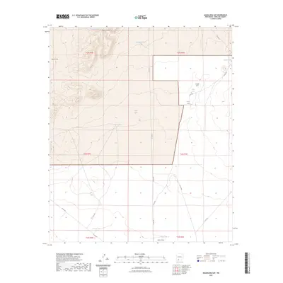
2023 Map of Magdalena Gap
USGS Topo · Published 2023About this map
Magdalena Gap defines the high northern relief of this arid Doña Ana County landscape, where the terrain drops southward into the broad expanse of Apache Flats. This 2023 survey reveals a traditional ranching infrastructure focused entirely on water management, evidenced by numerous named stock tanks distributed across the township grids. Notable drainage systems like Candler Draw and Mason Draw channel seasonal runoff through the territory, connected by a network of county roads including Co RD c003 and Co RD c008.
Find a feature on this map
26 named features on this map. Tap any name to fly to it.
Don’t see what you’re looking for? This feature index may not catch every label — zoom into the map to look around manually.
Map Details
Editions of this 2023 Magdalena Gap Map
This is the sole edition of this map. No revisions or reprints were ever made.
Other maps of this area

1941 · Aden
USGS Topo · 1:62,500

1943 · Aden
USGS Topo · 1:62,500

1943 · Corralitos Ranch
USGS Topo · 1:62,500

1955 · Las Cruces
USGS Topo · 1:250,000

1958 · Las Cruces
USGS Topo · 1:250,000

1972 · Cambray
USGS Topo · 1:24,000

1972 · Good Sight Peak NE
USGS Topo · 1:24,000

1972 · Lazy E Ranch
USGS Topo · 1:24,000
1982 · Deming
USGS Topo · 1:100,000
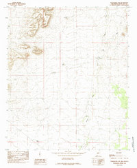
1985 · Magdalena Gap
USGS Topo · 1:24,000