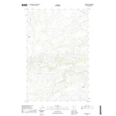
2020 Map of Magee Ranch
USGS Topo · Published 2020About this map
Magee Ranch serves as a primary waypoint in this section of Glacier County, where the plains meet the drainages of the Two Medicine River. This 2020 landscape is defined by a network of watercourses and topographical depressions, including Big Nose Coulee and Whitecalf Coulee, which shape the local ranching environment. The presence of Magee Lake and the 31N11W24DCA01 Spring highlights the critical importance of water sources in this region.
Find a feature on this map
20 named features on this map. Tap any name to fly to it.
Don’t see what you’re looking for? This feature index may not catch every label — zoom into the map to look around manually.
Map Details
Editions of this 2020 Magee Ranch Map
This is the sole edition of this map. No revisions or reprints were ever made.
Other maps of this area

1901 · Browning
USGS Topo · 1:125,000

1903 · Browning
USGS Topo · 1:125,000

1911 · Blackfoot
USGS Topo · 1:125,000

1913 · Marias Pass
USGS Topo · 1:125,000

1914 · Heart Butte
USGS Topo · 1:125,000

1918 · Heart Butte
USGS Topo · 1:125,000

1960 · Cut Bank
USGS Topo · 1:250,000

1963 · Cut Bank
USGS Topo · 1:250,000

1964 · Cut Bank
USGS Topo · 1:250,000

1968 · Half Dome Crag
USGS Topo · 1:24,000