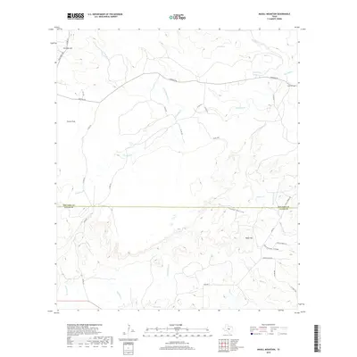
2019 Map of Magill Mountain
USGS Topo · Published 2019About this map
Gray Cem stands as a quiet landmark in the northeast corner of this Hill Country landscape, situated near the headwaters of Cherokee Cr and Ponotoc Rd. The terrain is defined by dramatic elevations and seasonal watercourses, from the heights of Shin Oak Mtn and Magill Mtn to the broad expanse of Potter Flats. The boundary between San Saba and Llano counties cuts across the center of the survey, where Pecan Cr flows into Cedar Hollow.
Find a feature on this map
38 named features on this map. Tap any name to fly to it.
Don’t see what you’re looking for? This feature index may not catch every label — zoom into the map to look around manually.
Map Details
Editions of this 2019 Magill Mountain Map
This is the sole edition of this map. No revisions or reprints were ever made.
Other maps of this area

1885 · San Saba
USGS Topo · 1:125,000

1887 · Llano
USGS Topo · 1:125,000

1894 · San Saba
USGS Topo · 1:125,000

1894 · Llano
USGS Topo · 1:125,000

1904 · Llano
USGS Topo · 1:125,000

1909 · Llano
USGS Topo · 1:125,000

1918 · Llano
USGS Topo · 1:125,000

1931 · Bend
USGS Topo · 1:62,500

1954 · Brownwood
USGS Topo · 1:250,000

1954 · Llano
USGS Topo · 1:250,000