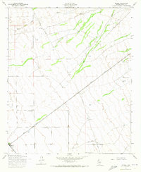
1956 Map of Magma
USGS Topo · Published 1973About this map
Magma Arizona and the Southern Pacific railroads meet at the small junction of Magma, serving as the primary infrastructure in this arid Pinal County landscape during the mid-1950s. The terrain is defined by the ephemeral Queen Creek in the north and a network of utility corridors, including a Telephone Line, Power Line, and Pipeline that traverse the open desert. Aviation markers like the southern Landing Strip and a central Landing Field indicate the importance of private or localized flight in this era. Local ranching life is represented by the Ellsworth Ranch to the east, while scattered infrastructure such as a Water Tank and several points labeled Well reflect the vital necessity of water management for sustaining the small settlements and transit hubs in the Arizona desert before modern suburban expansion.
Find a feature on this map
12 named features on this map. Tap any name to fly to it.
Don’t see what you’re looking for? This feature index may not catch every label — zoom into the map to look around manually.
Map Details
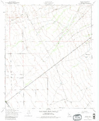
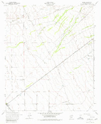
Editions of this 1956 Magma Map
4 editions found
Other maps of this area

1900 · Florence
USGS Topo · 1:125,000

1902 · Florence
USGS Topo · 1:125,000

1904 · Desert Well
USGS Topo · 1:62,500

1906 · Desert Well
USGS Topo · 1:62,500

1907 · Sacaton
USGS Topo · 1:62,500

1954 · Mesa
USGS Topo · 1:250,000

1956 · Sacaton NE
USGS Topo · 1:24,000

1956 · Magma
USGS Topo · 1:24,000

1956 · Desert Well
USGS Topo · 1:24,000
1956 · Superstition Mts. SW
USGS Topo · 1:24,000