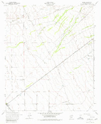
1956 Map of Magma
USGS Topo · Published 1980About this map
The Magma Arizona railroad and utility infrastructure dominate this Pinal County landscape, reflecting the mid-century industrial development of the Sonoran desert. The small settlement of Magma serves as a focal point at the junction of the Southern Pacific line, characterized by a Water Tank and nearby surveying benchmarks. Away from the rail corridors, the terrain is marked by intermittent drainage from Queen Creek and isolated outposts like Ellsworth Ranch.
Find a feature on this map
13 named features on this map. Tap any name to fly to it.
Don’t see what you’re looking for? This feature index may not catch every label — zoom into the map to look around manually.
Map Details
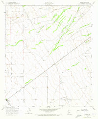
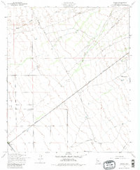
Editions of this 1956 Magma Map
4 editions found
Other maps of this area

1900 · Florence
USGS Topo · 1:125,000

1902 · Florence
USGS Topo · 1:125,000

1904 · Desert Well
USGS Topo · 1:62,500

1906 · Desert Well
USGS Topo · 1:62,500

1907 · Sacaton
USGS Topo · 1:62,500

1954 · Mesa
USGS Topo · 1:250,000

1956 · Sacaton NE
USGS Topo · 1:24,000

1956 · Magma
USGS Topo · 1:24,000

1956 · Desert Well
USGS Topo · 1:24,000
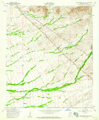
1956 · Superstition Mts. SW
USGS Topo · 1:24,000