Loading...
Loading map...2023 Map of Magnetic Springs
USGS Topo · Published 2023About this map
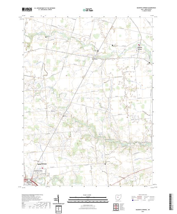
Bokes Creek and Blues Creek wind through this Union County landscape, defining a rural corridor north of Marysville. The village of Magnetic Springs sits in the northeast corner, a location historically recognized for its mineral waters. The map reveals a dense network of family-named landmarks and resting places, including Maskill Cem, Hopewell Cem, and Scott Cem, which serve as vital markers for local genealogical research.
Find a feature on this map
67 named features on this map. Tap any name to fly to it.
Don’t see what you’re looking for? This feature index may not catch every label — zoom into the map to look around manually.
Map Details
Date Portrayed2023
Date Published2023
PublisherU.S. Geological Survey
Map TypeTopographic
Scale1:24000
Physical Dimensions24 x 29 inches
Editions of this 2023 Magnetic Springs Map
This is the sole edition of this map. No revisions or reprints were ever made.
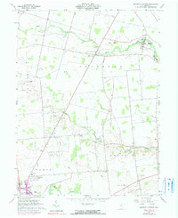
Historical Maps of Pharisburg Through Time
Featured Locations
- Leesburg Township, OH
- Marysville, OH
- Paris Township, OH
- Taylor Township, OH
- Magnetic Springs, Leesburg Township
Source Details
SourceU.S. Geological Survey
CopyrightPublic Domain