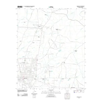
2011 Map of Magnolia
USGS Topo · Published 2011About this map
Magnolia serves as the focal point of this Arkansas landscape, characterized by the campus of Southern Arkansas University and a dense network of residential streets that expand toward the Magnolia Post Office. The surrounding Columbia County countryside is defined by its small settlements and historical markers, including McNeil to the north and the localized communities of Free Hope and Magnesia Springs. The terrain is etched by the meandering courses of Cornie Bayou and Little Cornie Bayou, which define the low-lying drainage patterns alongside numerous smaller tributaries like Nations Creek and Horsehead Creek.
Find a feature on this map
100 named features on this map. Tap any name to fly to it.
Don’t see what you’re looking for? This feature index may not catch every label — zoom into the map to look around manually.
Map Details
Editions of this 2011 Magnolia Map
This is the sole edition of this map. No revisions or reprints were ever made.
Other maps of this area

1953 · El Dorado
USGS Topo · 1:250,000

1957 · El Dorado
USGS Topo · 1:250,000

1958 · El Dorado
USGS Topo · 1:250,000

1960 · El Dorado
USGS Topo · 1:250,000
1960 · Macedonia
USGS Topo · 1:24,000
1966 · Village
USGS Topo · 1:24,000
1966 · Calhoun
USGS Topo · 1:24,000
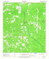
1966 · Spotville
USGS Topo · 1:24,000
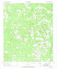
1968 · Lamartine
USGS Topo · 1:24,000
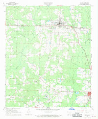
1968 · Waldo
USGS Topo · 1:24,000