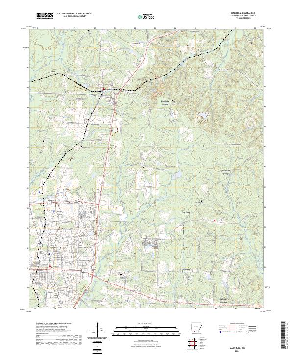
2024 Map of Magnolia
USGS Topo · Published 2024About this map
The Columbia County Courthouse serves as the central anchor of Magnolia, a southern Arkansas city defined by its blend of academic and rural landscapes. The campus of Southern Arkansas University occupies the northwest section of the city, while several historic burial grounds, including Magnolia Cem and Magnolia Memorial Park, are scattered throughout the residential and commercial blocks. North of the city, the landscape transitions into a network of creeks and small communities such as McNeil and Magnesia Springs, where local history is preserved at sites like Saint Matthews Cem and New Bethel Cem.
Find a feature on this map
138 named features on this map. Tap any name to fly to it.
Don’t see what you’re looking for? This feature index may not catch every label — zoom into the map to look around manually.
Map Details
Editions of this 2024 Magnolia Map
This is the sole edition of this map. No revisions or reprints were ever made.
Other maps of this area

1953 · El Dorado
USGS Topo · 1:250,000

1957 · El Dorado
USGS Topo · 1:250,000

1958 · El Dorado
USGS Topo · 1:250,000

1960 · El Dorado
USGS Topo · 1:250,000

1960 · Macedonia
USGS Topo · 1:24,000

1966 · Village
USGS Topo · 1:24,000

1966 · Calhoun
USGS Topo · 1:24,000

1966 · Spotville
USGS Topo · 1:24,000

1968 · Lamartine
USGS Topo · 1:24,000

1968 · Waldo
USGS Topo · 1:24,000