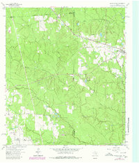
1962 Map of Magnolia West
USGS Topo · Published 1980About this map
The community of Magnolia and the rural junction of Fetzer anchor this landscape along the border of Waller, Montgomery, and Grimes counties. This 1962 topographic record, updated through 1979, illustrates a region defined by its waterway networks, including Mill Creek, Walnut Creek, and Birch Creek. Early transportation patterns are evident in the Missouri Pacific rail line and a stretch of Old RR Grade to the north, suggesting the evolution of regional logging or transit routes over time. Local life and history are grounded in features like the Old Sanders Cem and the Assembly of God Ch, while industrial activity is noted by several Gravel Pit sites and an Oil Well. A Racetrack and the Lookout Tower Magnolia stand as distinctive local landmarks within this varied terrain of creek gullies and woodland plots.
Find a feature on this map
27 named features on this map. Tap any name to fly to it.
Don’t see what you’re looking for? This feature index may not catch every label — zoom into the map to look around manually.
Map Details
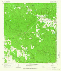
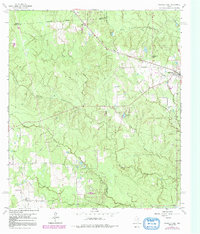
Editions of this 1962 Magnolia West Map
Other maps of this area

1916 · Rose Hill
USGS Topo · 1:24,000

1916 · Hockley
USGS Topo · 1:24,000

1920 · Hockley
USGS Topo · 1:31,680

1920 · Rose Hill
USGS Topo · 1:31,680

1920 · Waller
USGS Topo · 1:31,680

1954 · Beaumont
USGS Topo · 1:250,000

1957 · Beaumont
USGS Topo · 1:250,000

1960 · Waller
USGS Topo · 1:24,000

1960 · Waller NW
USGS Topo · 1:24,000

1961 · Stoneham
USGS Topo · 1:24,000