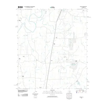
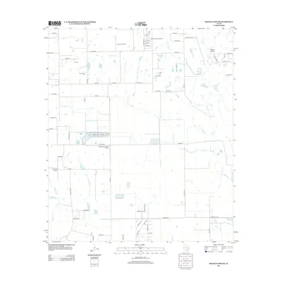
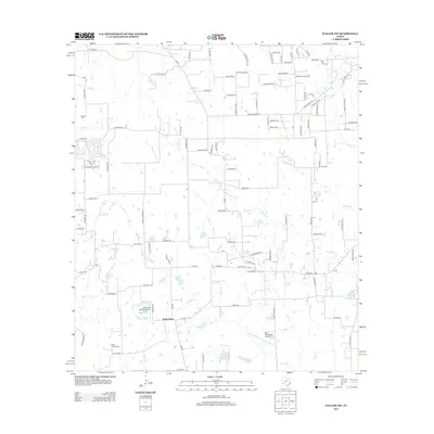
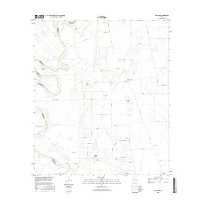
1960 Map of Sunny Side
USGS Topo · Published 1980About this map
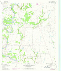
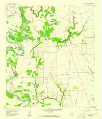
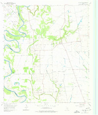
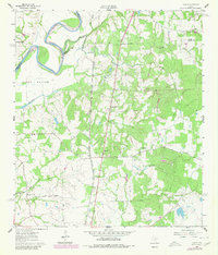
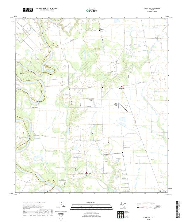
The Brazos River creates a dramatic series of meanders along the western border of this Waller County landscape, defining the geography around Wildcat Bend and several oxbows like Cuny Lake. Industrial activity is centered in the northwest at the Racoon Bend Oil Field, where a dense network of oil wells and pipelines punctuates the terrain. The eastern portion of the sheet reveals a settled rural character, anchored by the communities of Monaville and Sunny Side. Local genealogy is well-preserved through numerous family and community landmarks, including the Sunny Side PO, St Thomas Ch, and a variety of small burial grounds such as Harper Cem, Vesley Cem, and the Carrington Cem. Transport routes like Crump Ferry Road suggest historical river crossings that once linked these farming and oil-producing communities across the river's shifting course.
Find a feature on this map
33 named features on this map. Tap any name to fly to it.
Don’t see what you’re looking for? This feature index may not catch every label — zoom into the map to look around manually.
Map Details
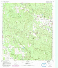
Editions of this 1960 Sunny Side Map
Historical Maps of Sunny Side Post Office Through Time
30 maps found
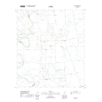
1960 Sunny Side
Waller County, TX
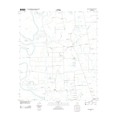
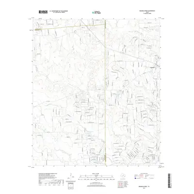
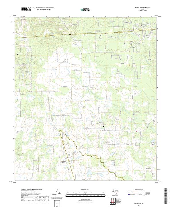
1960 Waller NW
Waller County, TX
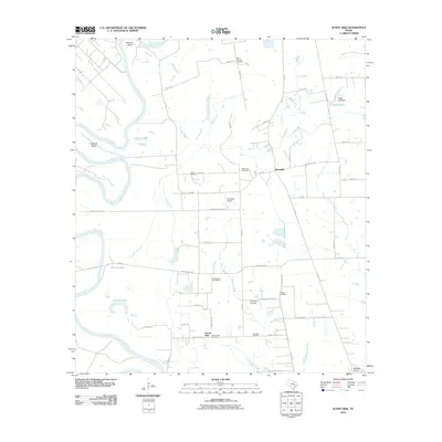
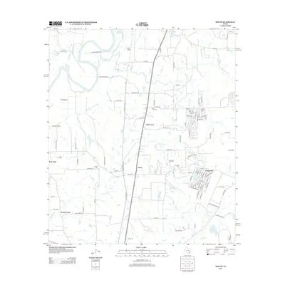
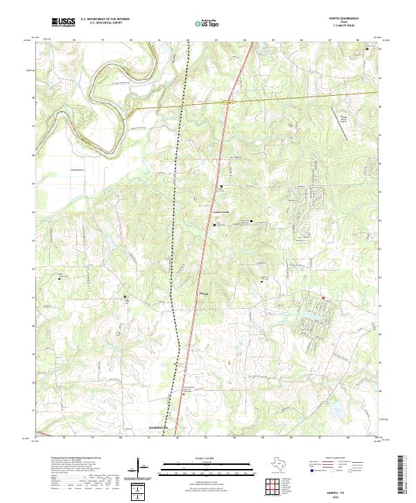
1961 Howth
Waller County, TX
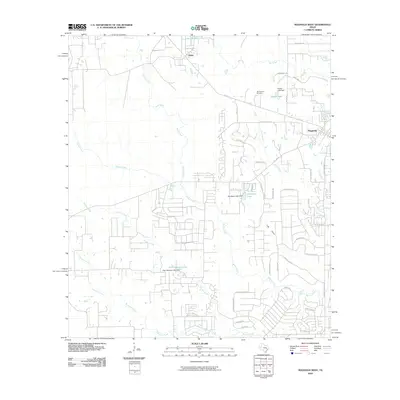
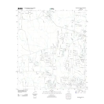
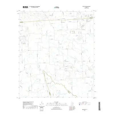
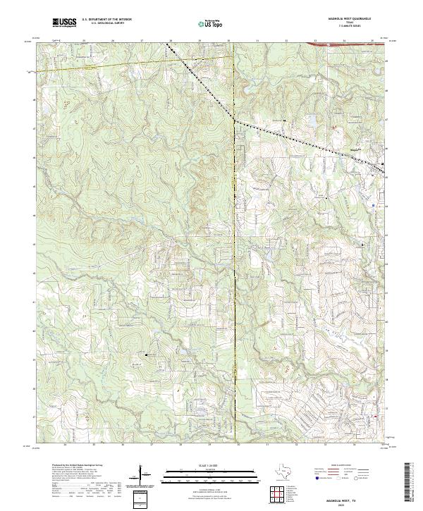
1962 Magnolia West
Waller County, TX
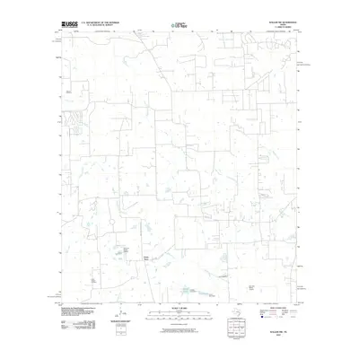
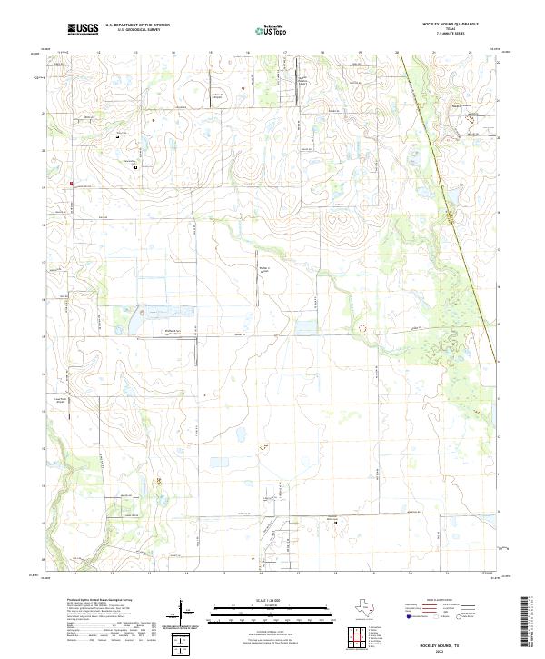
1971 Hockley Mound
Waller County, TX
2010 Hockley Mound
Waller County, TX
2010 Howth
Waller County, TX
2010 Magnolia West
Waller County, TX
2010 Sunny Side
Waller County, TX
2010 Waller NW
Waller County, TX
2013 Hockley Mound
Waller County, TX
2013 Howth
Waller County, TX
2013 Magnolia West
Waller County, TX
2013 Sunny Side
Waller County, TX
2013 Waller NW
Waller County, TX
2016 Hockley Mound
Waller County, TX
2016 Howth
Waller County, TX
2016 Magnolia West
Waller County, TX
2016 Sunny Side
Waller County, TX
2016 Waller NW
Waller County, TX
2019 Hockley Mound
Waller County, TX
2019 Howth
Waller County, TX
2019 Magnolia West
Waller County, TX
2019 Sunny Side
Waller County, TX
2019 Waller NW
Waller County, TX
2022 Hockley Mound
Waller County, TX
2022 Howth
Waller County, TX
2022 Sunny Side
Waller County, TX
2022 Waller NW
Waller County, TX
2023 Magnolia West
Waller County, TX