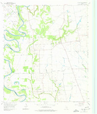
1960 Map of Sunny Side
USGS Topo · Published 1977About this map
The Brazos River meanders sharply through the western portion of this 1960 survey, defining the boundary between Austin and Waller counties. The landscape is a complex network of bayous and creeks, where Wildcat Bend and oxbow lakes like Cuny Lake and Hannay Lake mark the river’s historical path. To the north, the Racoon Bend Oil Field indicates the industrial footprint of petroleum extraction, while the surrounding area remains largely rural and agricultural.
Find a feature on this map
32 named features on this map. Tap any name to fly to it.
Don’t see what you’re looking for? This feature index may not catch every label — zoom into the map to look around manually.
Map Details
Editions of this 1960 Sunny Side Map
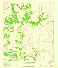
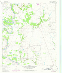
Other maps of this area

1920 · Waller
USGS Topo · 1:31,680

1950 · Houston
USGS Topo · 1:250,000

1953 · Seguin
USGS Topo · 1:250,000

1954 · Beaumont
USGS Topo · 1:250,000

1954 · Austin
USGS Topo · 1:250,000

1955 · Brookshire
USGS Topo · 1:62,500

1956 · Sealy
USGS Topo · 1:62,500

1956 · Hempstead
USGS Topo · 1:62,500

1956 · Houston
USGS Topo · 1:250,000

1957 · Beaumont
USGS Topo · 1:250,000