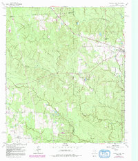
1962 Map of Magnolia West
USGS Topo · Published 1991About this map
Magnolia and the nearby settlement of Fetzer sit at the intersection of several county lines where Grimes, Waller, and Montgomery counties converge. This 1960s landscape, later updated in the late 1970s, reveals a rural economy transitioning from traditional agriculture toward resource extraction and early suburban development. Extensive networks of drainage basins including Mill Creek, Birch Creek, and Walnut Creek define the topography, interspersed with numerous oil wells, drill holes, and gravel pits that suggest a busy local industry.
Find a feature on this map
23 named features on this map. Tap any name to fly to it.
Don’t see what you’re looking for? This feature index may not catch every label — zoom into the map to look around manually.
Map Details
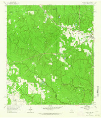
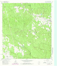
Editions of this 1962 Magnolia West Map
Other maps of this area

1916 · Rose Hill
USGS Topo · 1:24,000

1916 · Hockley
USGS Topo · 1:24,000

1920 · Hockley
USGS Topo · 1:31,680

1920 · Rose Hill
USGS Topo · 1:31,680

1920 · Waller
USGS Topo · 1:31,680

1954 · Beaumont
USGS Topo · 1:250,000

1957 · Beaumont
USGS Topo · 1:250,000

1960 · Waller
USGS Topo · 1:24,000

1960 · Waller NW
USGS Topo · 1:24,000

1961 · Stoneham
USGS Topo · 1:24,000