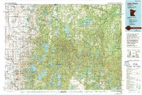
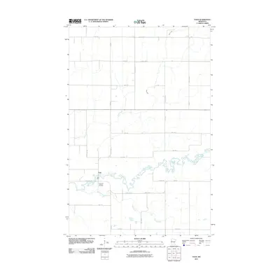
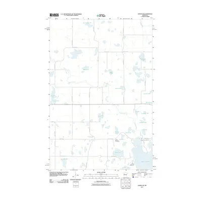
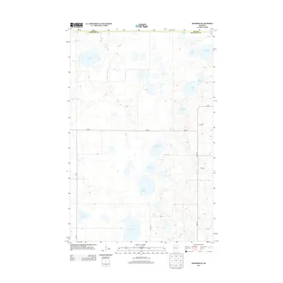
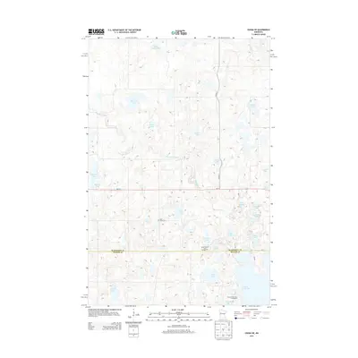
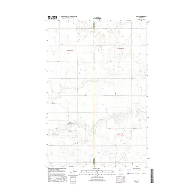
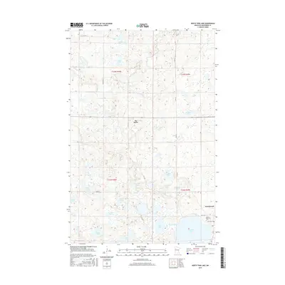
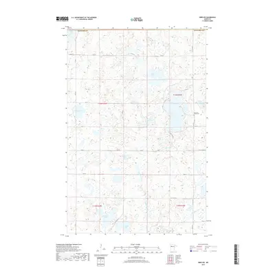
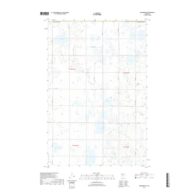
1969 Map of Mahnomen NE
USGS Topo · Published 1972About this map
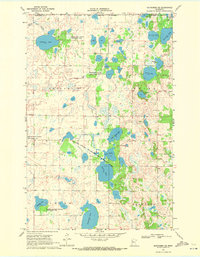
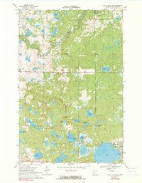
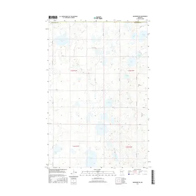
The White Earth Indian Reservation Boundary cuts across this landscape, where early 20th-century conservation efforts are visible through a dense network of wildlife areas. Extensive wetlands and glacial basins dominate the terrain, including the large Vanose State Wildlife Management Area and the Killian State Wildlife Management Area. The map reveals a rural infrastructure of township governance and local ancestry, marked by the central Townhall and the Duane Cem in the eastern hills. Water bodies like Beaulieu Lake, Aspinwall Lake, and the sprawling Sand Hill Lake are meticulously documented with depth curves provided by the Minnesota Department of Conservation, illustrating the region's hydrographic complexity. To the northwest, the Marsh Ditch indicates early attempts at landscape drainage, contrasting with the preserved natural state of the nearby wildlife management tracts.
Find a feature on this map
31 named features on this map. Tap any name to fly to it.
Don’t see what you’re looking for? This feature index may not catch every label — zoom into the map to look around manually.
Map Details
Editions of this 1969 Mahnomen NE Map
This is the sole edition of this map. No revisions or reprints were ever made.
Historical Maps of Polk County Through Time
55 maps found

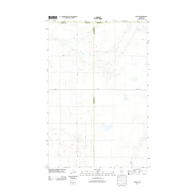
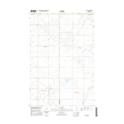
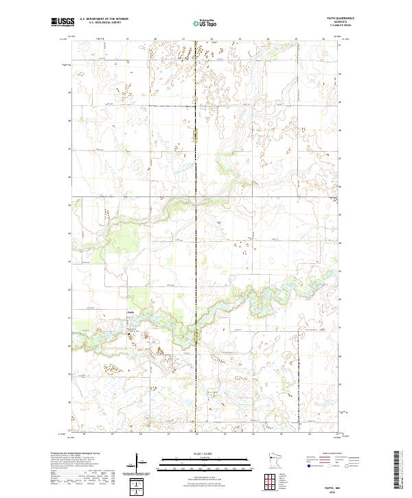
1966 Faith
Mahnomen County, MN
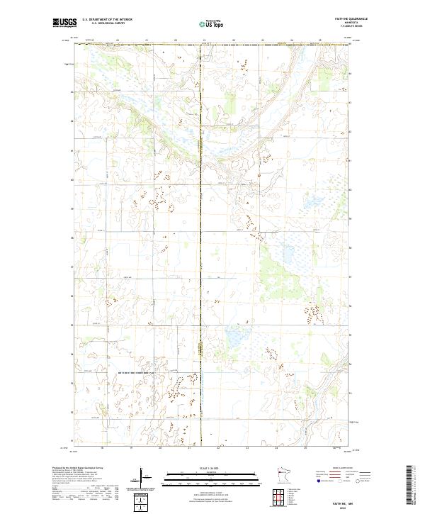
1966 Faith NE
Mahnomen County, MN
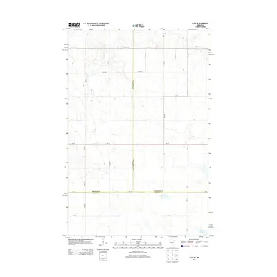
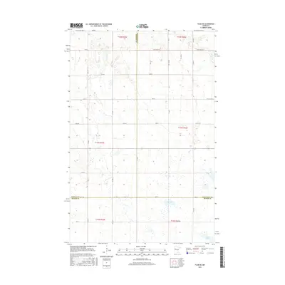
1966 Flom NE
Mahnomen County, MN
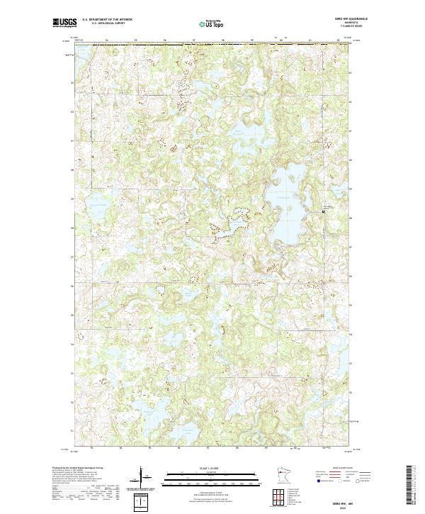
1969 Ebro NW
Mahnomen County, MN
1969 Mahnomen NE
Mahnomen County, MN
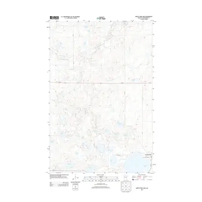
1969 North Twin Lake
Mahnomen County, MN
1969 Ogema NE
Mahnomen County, MN
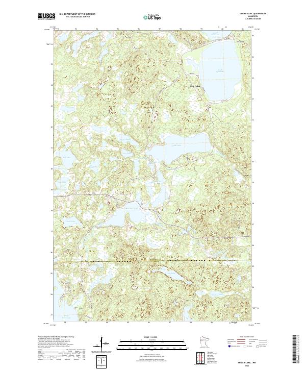
1969 Snider Lake
Mahnomen County, MN
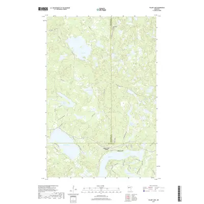
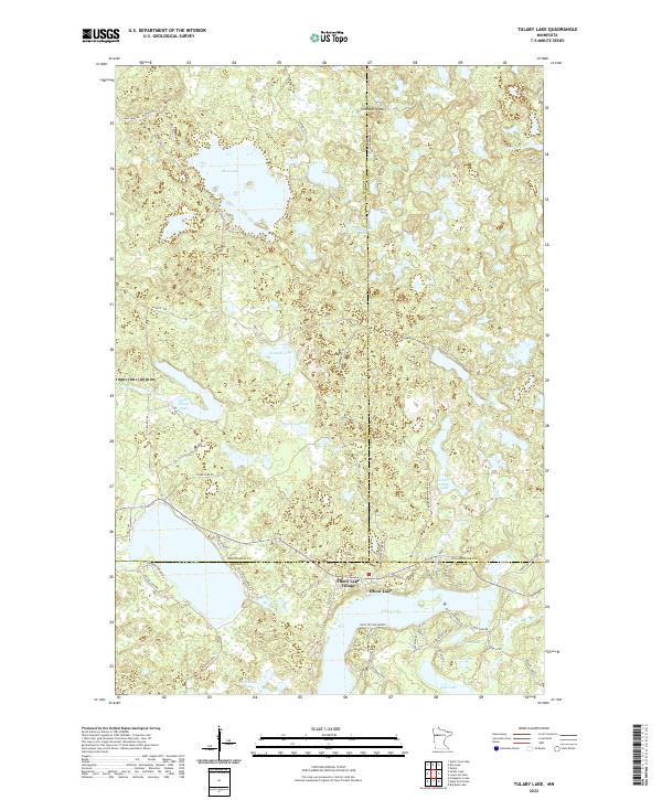
1969 Tulaby Lake
Mahnomen County, MN
1985 Lake Itasca
Mahnomen County, MN
2010 Mahnomen NE
Mahnomen County, MN
2010 Snider Lake
Mahnomen County, MN
2011 Ebro NW
Mahnomen County, MN
2011 Faith
Mahnomen County, MN
2011 Faith NE
Mahnomen County, MN
2011 Flom NE
Mahnomen County, MN
2011 North Twin Lake
Mahnomen County, MN
2011 Ogema NE
Mahnomen County, MN
2011 Tulaby Lake
Mahnomen County, MN
2013 Ebro NW
Mahnomen County, MN
2013 Faith
Mahnomen County, MN
2013 Faith NE
Mahnomen County, MN
2013 Flom NE
Mahnomen County, MN
2013 Mahnomen NE
Mahnomen County, MN
2013 North Twin Lake
Mahnomen County, MN
2013 Ogema NE
Mahnomen County, MN
2013 Snider Lake
Mahnomen County, MN
2013 Tulaby Lake
Mahnomen County, MN
2016 Ebro NW
Mahnomen County, MN
2016 Faith
Mahnomen County, MN
2016 Faith NE
Mahnomen County, MN
2016 Flom NE
Mahnomen County, MN
2016 Mahnomen NE
Mahnomen County, MN
2016 North Twin Lake
Mahnomen County, MN
2016 Ogema NE
Mahnomen County, MN
2016 Snider Lake
Mahnomen County, MN
2016 Tulaby Lake
Mahnomen County, MN
2019 Ebro NW
Mahnomen County, MN
2019 Faith
Mahnomen County, MN
2019 Faith NE
Mahnomen County, MN
2019 Flom NE
Mahnomen County, MN
2019 Mahnomen NE
Mahnomen County, MN
2019 North Twin Lake
Mahnomen County, MN
2019 Ogema NE
Mahnomen County, MN
2019 Snider Lake
Mahnomen County, MN
2019 Tulaby Lake
Mahnomen County, MN
2022 Ebro NW
Mahnomen County, MN
2022 Faith
Mahnomen County, MN
2022 Faith NE
Mahnomen County, MN
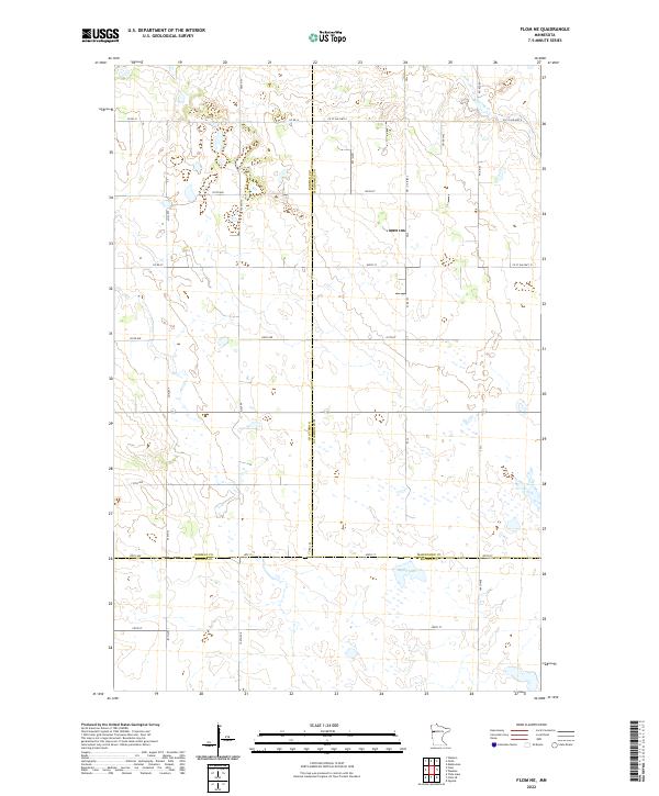
2022 Flom NE
Mahnomen County, MN
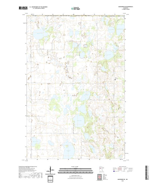
2022 Mahnomen NE
Mahnomen County, MN
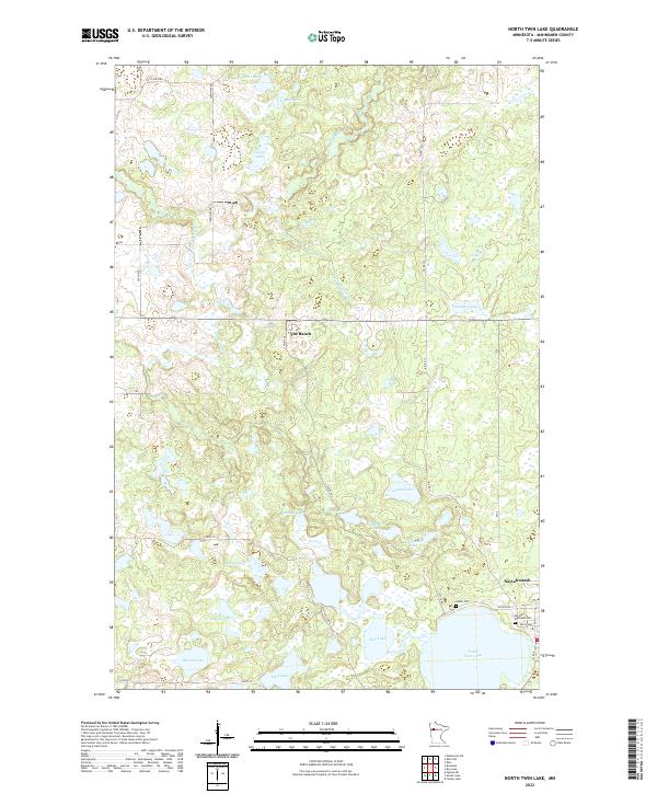
2022 North Twin Lake
Mahnomen County, MN
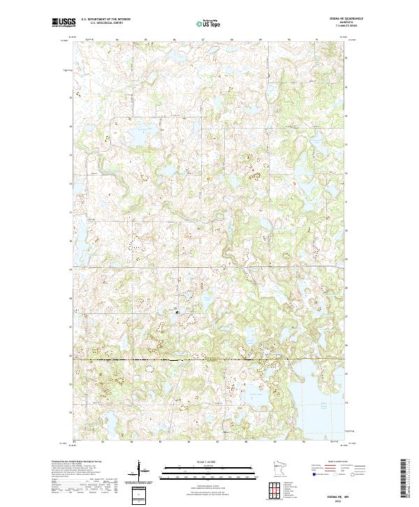
2022 Ogema NE
Mahnomen County, MN
2022 Snider Lake
Mahnomen County, MN
2022 Tulaby Lake
Mahnomen County, MN