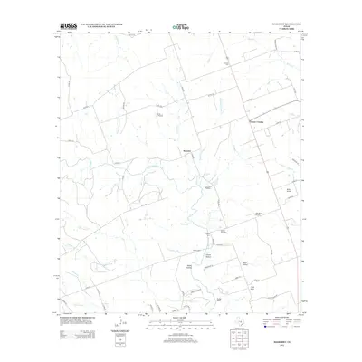
2012 Map of Mahomet
USGS Topo · Published 2012About this map
Mahomet and Gabriel Mills anchor this Central Texas landscape where the N Fork San Gabriel River carves through a series of hollows and bluffs. The rural character of northwestern Williamson County is evident in the network of county roads that connect isolated homesteads and historical burial grounds such as the Gabriel Mills Cem and Mt Horeb Cem. Topography is defined by distinct landmarks like Bald Knob and Pilot Knob, while the presence of the Flying 'K' Airport and Rab Ranch Airport speaks to the region's modern aviation footprint amidst its agricultural roots.
Find a feature on this map
67 named features on this map. Tap any name to fly to it.
Don’t see what you’re looking for? This feature index may not catch every label — zoom into the map to look around manually.
Map Details
Editions of this 2012 Mahomet Map
This is the sole edition of this map. No revisions or reprints were ever made.
Other maps of this area

1887 · Burnet
USGS Topo · 1:125,000

1893 · Georgetown
USGS Topo · 1:125,000

1893 · Burnet
USGS Topo · 1:125,000

1903 · Burnet
USGS Topo · 1:125,000

1909 · Burnet
USGS Topo · 1:125,000

1932 · Bertram
USGS Topo · 1:62,500

1954 · Llano
USGS Topo · 1:250,000

1954 · Austin
USGS Topo · 1:250,000

1955 · Llano
USGS Topo · 1:250,000

1956 · Llano
USGS Topo · 1:250,000