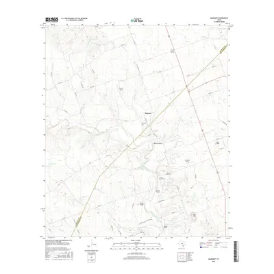
2016 Map of Mahomet
USGS Topo · Published 2016About this map
Mahomet sits near the crossing of FM 243 and Sycamore Springs Cr, serving as a central point in this rural landscape along the Burnet Co Williamson Co line. The terrain is defined by the winding course of the North Fork San Gabriel River and numerous named drainages like Brizendine Br and Berry Cr. Local history is anchored by several rural graveyards, including Gabriel Mills Cem, Mount Horeb Cem, and Prairie View Cem. Prominent topographic features such as Bald Knob and Pilot Knob rise above the surrounding hollows. The presence of private airstrips like Rab Ranch Airport and Flying 'K' Airport indicates a landscape of large ranch holdings and dispersed settlements, where the drainage network of Clear Cr and its branches dictates the local topography.
Find a feature on this map
66 named features on this map. Tap any name to fly to it.
Don’t see what you’re looking for? This feature index may not catch every label — zoom into the map to look around manually.
Map Details
Editions of this 2016 Mahomet Map
This is the sole edition of this map. No revisions or reprints were ever made.
Other maps of this area

1887 · Burnet
USGS Topo · 1:125,000

1893 · Georgetown
USGS Topo · 1:125,000

1893 · Burnet
USGS Topo · 1:125,000

1903 · Burnet
USGS Topo · 1:125,000

1909 · Burnet
USGS Topo · 1:125,000

1932 · Bertram
USGS Topo · 1:62,500

1954 · Llano
USGS Topo · 1:250,000

1954 · Austin
USGS Topo · 1:250,000

1955 · Llano
USGS Topo · 1:250,000

1956 · Llano
USGS Topo · 1:250,000