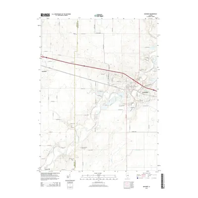
2015 Map of Mahomet
USGS Topo · Published 2015About this map
The Sangamon River meanders across this Central Illinois landscape, defining the character of Mahomet as it flows toward the southwest. This 2015 survey reveals a significant concentration of family and community burial grounds, providing a detailed map for genealogical research with sites like Dunkard Cem in the north and the Seymour Methodist Episcopal Cem further south. The area is characterized by its transition from organized agricultural grids, marked by roads such as Co Road 2500 N, to the recreational developments surrounding Lake of the Woods and Spring Lake. The boundary between Piatt and Champaign counties cuts vertically through the center, separating the village of Mansfield from the expanding residential and commercial corridors of Mahomet. Smaller waterways, including Camp Cr and Madden Cr, feed into the larger river system, punctuating the prairie terrain.
Find a feature on this map
60 named features on this map. Tap any name to fly to it.
Don’t see what you’re looking for? This feature index may not catch every label — zoom into the map to look around manually.
Map Details
Editions of this 2015 Mahomet Map
This is the sole edition of this map. No revisions or reprints were ever made.
Other maps of this area

1907 · Mahomet
USGS Topo · 1:62,500

1928 · Gibson City
USGS Topo · 1:62,500

1937 · Monticello
USGS Topo · 1:48,000

1943 · Monticello
USGS Topo · 1:62,500

1952 · Arrowsmith
USGS Topo · 1:62,500

1957 · Gibson City
USGS Topo · 1:62,500

1957 · Rising
USGS Topo · 1:24,000

1957 · Mahomet
USGS Topo · 1:62,500

1957 · Bondville
USGS Topo · 1:24,000

1958 · Peoria
USGS Topo · 1:250,000