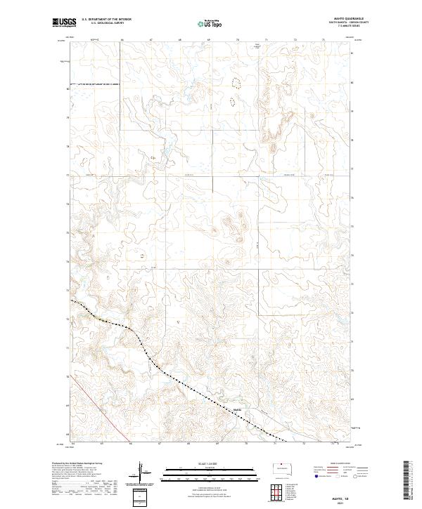
2021 Map of Mahto
USGS Topo · Published 2021About this map
Mahto stands as the primary point of settlement in this part of Corson County, situated along the Mahto Rd corridor near the southern edge of the survey. The landscape is defined by the winding course of Oak Cr, which carves through the central and western sections of the township. This drainage pattern dictates the local infrastructure, with rural routes like 112th St and Kenel Rd traversing the higher ground between creek bends.
Find a feature on this map
15 named features on this map. Tap any name to fly to it.
Don’t see what you’re looking for? This feature index may not catch every label — zoom into the map to look around manually.
Map Details
Editions of this 2021 Mahto Map
This is the sole edition of this map. No revisions or reprints were ever made.
Other maps of this area

1953 · McIntosh
USGS Topo · 1:250,000

1956 · Wakpala NW
USGS Topo · 1:24,000

1956 · Little Eagle
USGS Topo · 1:24,000

1956 · Wakpala
USGS Topo · 1:24,000

1958 · McIntosh
USGS Topo · 1:250,000

1966 · Mahto NE
USGS Topo · 1:24,000

1966 · McLaughlin
USGS Topo · 1:24,000

1966 · McLaughlin NE
USGS Topo · 1:24,000

1966 · Mahto
USGS Topo · 1:24,000

1966 · Mahto NW
USGS Topo · 1:24,000