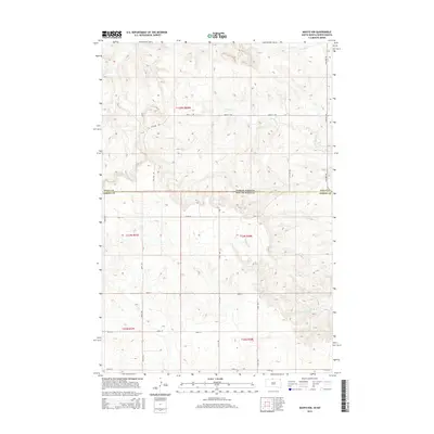
2015 Map of Mahto NW
USGS Topo · Published 2015About this map
The boundary between Sioux Co and Corson Co runs across this landscape, marking the state line between North Dakota and South Dakota. This high-plains terrain is defined by its drainage patterns, notably the winding courses of Joe Bush Cr and Blackfoot Cr as they flow eastward. In the northern reaches, Fireheart Cr carves into the rolling topography. The survey shows a meticulously organized section-line road network, including corridors such as 16th Ave SW and 101st St, which reflect the region's enduring agricultural survey grid. These routes provide access across the townships of t129n r80w and t23n r28e, illustrating how the modern landscape remains anchored to historical land divisions within the Standing Rock Reservation area.
Find a feature on this map
22 named features on this map. Tap any name to fly to it.
Don’t see what you’re looking for? This feature index may not catch every label — zoom into the map to look around manually.
Map Details
Editions of this 2015 Mahto NW Map
This is the sole edition of this map. No revisions or reprints were ever made.
Other maps of this area

1953 · McIntosh
USGS Topo · 1:250,000

1954 · Bismarck
USGS Topo · 1:250,000

1958 · Bismarck
USGS Topo · 1:250,000

1958 · McIntosh
USGS Topo · 1:250,000

1966 · Mahto NE
USGS Topo · 1:24,000

1966 · McLaughlin
USGS Topo · 1:24,000

1966 · McLaughlin NE
USGS Topo · 1:24,000

1966 · Mahto
USGS Topo · 1:24,000

1966 · Mahto NW
USGS Topo · 1:24,000

1966 · Kline Buttes
USGS Topo · 1:24,000