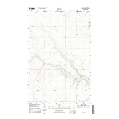
2014 Map of Maida
USGS Topo · Published 2014About this map
Maida sits at the northern edge of this North Dakota landscape, positioned directly against the international boundary with Canada in Cavalier County. The terrain is defined by the winding course of the Little S Pembina River, which carves a distinct valley across the central portion of the quadrangle. This area reflects a highly organized rural grid system, with numbered routes like 109th St NE and 108th Ave NE providing access to the agricultural interior. For those researching local family history, the Elkwood Cem stands as a significant landmark in the eastern section of the map. The road network, including the prominent north-south corridor of ND-1, illustrates the connectivity of this borderland region during the early twenty-first century.
Find a feature on this map
20 named features on this map. Tap any name to fly to it.
Don’t see what you’re looking for? This feature index may not catch every label — zoom into the map to look around manually.
Map Details
Editions of this 2014 Maida Map
This is the sole edition of this map. No revisions or reprints were ever made.
Other maps of this area

1953 · Devils Lake
USGS Topo · 1:250,000

1956 · Devils Lake
USGS Topo · 1:250,000

1967 · Langdon East
USGS Topo · 1:24,000

1967 · Maida
USGS Topo · 1:24,000

1969 · Olga SW
USGS Topo · 1:24,000

1969 · Olga NW
USGS Topo · 1:24,000

1970 · Mount Carmel
USGS Topo · 1:24,000

1970 · Langdon West
USGS Topo · 1:24,000

1985 · Langdon
USGS Topo · 1:100,000

2011 · Mount Carmel
USGS Topo · 1:24,000